Wednesday, September 16, 2015

Harrelson Horse Camp, Betty Lake and Rosary Lakes, Oregon

If you look online or in the OET book, Harrelson is spelled with an "a" but at the actual camp, it is spelled with an "e"....so I will spell it that way. This is very similar riding to Whitefish Horse Camp. It's in the same general area, with many miles of easy trails, lots of lakes, and access to the PCT.

Harrelson is basically a large parking lot/trailhead just before you get to Waldo Lake with five camping spots. There are garbage cans and a bathroom. No water at all, and no corrals. It is $5.00 a night or free with a NW Forest Pass. Update: as of 2021, the camp is now free, due to lack of services. 

Harrelson Horse Camp.

Harrelson Horse Camp.

One of the trailheads at Harrelson Horse Camp.

 Arriving on a Friday in hunting season I was not surprised to find two hunters already camped there. On the first night a family of four pulled in at 10:00 pm and parked right next to me. The spots on either side of the parking lot are really close together. They were somewhat apologetic when I talked to them the next day, but said that all the other campgrounds in the area were jam packed.

There are two trailheads that leave from camp, to the south and the north.
I went north first, and once I got to Waldo Lake I followed the shoreline for awhile through an old burn. Horses are not allowed in any of the people campgrounds but there are horse trails that circumnavigate them and get you back onto the main trail. They are clearly marked although there were a couple signs along there that someone had deliberately peeled off the "horses allowed" sticker. There is a horse watering area along there, but it is way too far from camp to be used as an actual source.

Riding through the burn area next to Waldo Lake.

I decided to do the Rigdon Lakes Loop but it had not been cleared, and so I got as far as Lake Kiwa before having to turn back. This took up a lot of time, but I continued along the main Waldo Lake trail for awhile until I got to Dam Camp. I would have liked to have gone a bit further. This was a busy weekend and this trail is VERY popular with cyclists. If you have a horse that does not like bikes, he or she will be very accustomed to them by the end of your visit.

Upper Rigdon Lake.

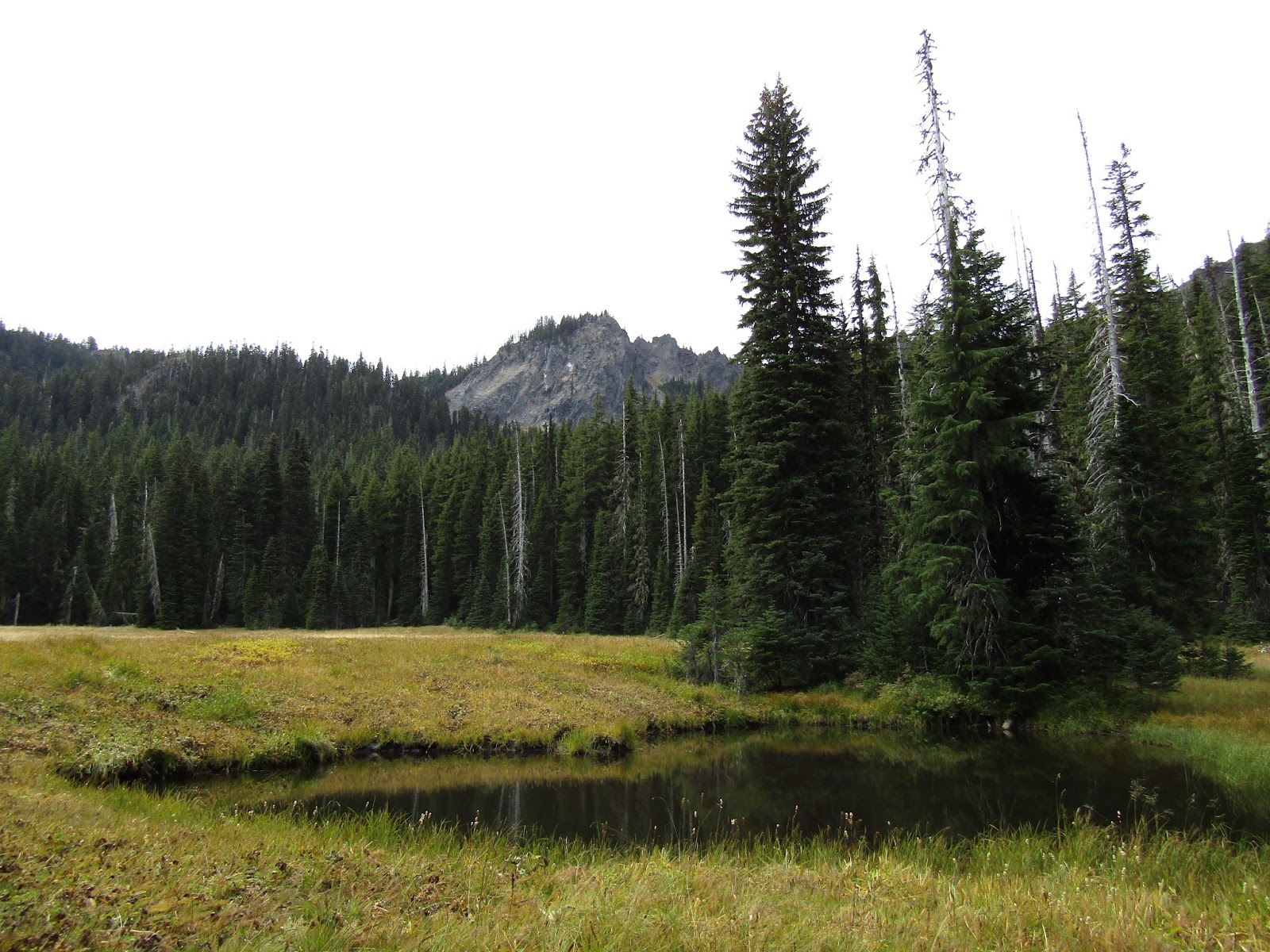
One of the many ponds in the area.

Dam Camp.

The following day I took the trail that leads to the PCT. I rode south which took me to Charlton Lake and beyond. I rode for as long as I wanted, turned around, and went back to camp along the Charlton Lake Trail making a loop.

Charlton Lake.

On day three I rode to the PCT again, but went north this time. This is basically riding back into my own back yard, so to speak, arriving at Irish and Taylor Lakes which are also accessible from Little Cultus Lake, closer to Bend.
I went as far as Brahma Lake before heading back. Brahma is one of those perfect swimmable, clear lakes, that I love.

Brahma Lake.

Rina at Brahma Lake.

One the way back I saw two backpackers heading towards me up ahead, so I stepped off the trail to let them pass. I was probably only six feet off the trail in plain view, but they never looked up to see me, they just kept trudging along. Finally one guy spotted me, and I laughed when he turned to his friend and said "how the hell did we miss that". Makes me think over the years of all the hikers I have snuck up on while riding my horse, I have learned there is a fine line of when and how to alert them to your presence. I keep hoping they will hear my, not especially quiet horse, coming up behind them, but then if you wait too long to say something, you run the risk of scaring the crap out of them. All I can say is good thing I am not a predator, or they would be lunch.

PCT sign by Irish Lake.

On the PCT.

A year ago I did a day ride from Little Cultus to Charlton Lake, and on the way back I took a side trail to Lily Lake. It was not cleared, but I managed to make it to the lake. At the time I knew the PCT was somewhere close by, but I wasn't sure how far. It would have been a nice opportunity for a loop, but after trying to find it for a long time, through the thick carpet of logs, I gave up. Cut to a year later, as I rode along the PCT on my way back, I went up onto a small hill to try to spot it, and ta da there it was....sigh....I was so close last time.

Lily Lake from the PCT.

On my last day I drove to the Betty Lake trailhead on the way home. I only did four days of riding this trip, but there are plenty of other options, especially on the way to and from camp on the Waldo Lake Rd.

This trail passes Betty Lake right away, then Howkum Lake, and eventually gets to the South Waldo Lake area. Waldo is huge, but you can ride around the entire thing, it is 22 miles, not including some of the horse trail detours. This is a nice part of the trail with a lot of beaches and views of the Three Sisters in the distance. Right after you pass the South Waldo Shelter there is an option to do a loop ride. I would not recommend the loop at this time, having said that, I did actually ride the whole thing. It seemed okay at first, starting out with minor downfall, but it got a lot worse. Update: Someone I know hiked it another year, and it was cleared, so maybe they are keeping up with it better now.

Betty Lake.

Howkum Lake.

South Waldo Lake.

South Waldo Lake shelter.

The trail climbs up for quite awhile, then there is a steep descent into Black Meadows, then right after a small clearing, the trail completely disappeared. I was not to be deterred, so after bushwacking around for awhile I finally stumbled upon it again. This is the area where I realized I was on a very high ridge, hence the name, High Divide Trail. So it was either turn back, or continue to try to get around the mess of downed trees. Once I passed Bingo Lake I could see the light at the end of the tunnel, I knew I was going to make it out, and sure enough soon I was headed back to the truck, with time to spare. Phew, I really didn't feel like having to retrace my steps!

The start of the loop trail.


Black Meadows.

In October of 2021 I returned to this camp and did a few more rides. The first one was actually at the PCT Trailhead for Rosary Lakes off of Hwy 58. I rode the PCT north, passing all three of the Rosary Lakes until I got to Bobby Lake. This was a 7.5 hour ride, but someone could just visit the first set of lakes for a shorter ride, and Bobby Lake can also be ridden from it's trailhead on Waldo Lake Rd. which is also the trailhead for Betty Lake.

Pulpit Rock at Rosary Lakes.

The three Rosary Lakes as well as Odell and Crescent Lake views from the PCT.

Bobby Lake.

Once I got to the camp I was surprised to find it deserted, I thought hunters would be there for sure, since rifle season had just started.

My second ride was all the way around Waldo Lake, in the past I had just ridden sections of it but I decided to do the whole 22 miles this time. Although it's an easy ride, the most scenic parts are on the north side near the horse camp, so doing the whole loop mostly just adds a lot of forested sections with no real views.

Waldo Lake.

Views of the Cascades, back towards Bend.

On the third day I decided to ride the 4x4 Taylor Burn Rd. which is close to camp, and heads across the wilderness over to the Cultus Lake area. My plan was to loop back along the trail system, if it was cleared. Since it had not been cleared on my last visit, I was very pleasantly surprised to find not only the obvious main trails were logged out, but also random spur trails that led to lakes that obviously have seen very little use. 

Fall colors at Helen Lake.

On the cleared trails, Taylor Butte in the background.

Harvey Lake.

I timed this trip to take advantage of the last of the good weather, and it worked out well, until the morning of the final day. It had rained overnight, which froze, and then it turned to snow. This effectively concluded my rides in this exact area, but on my drive home, once I got to a lower and warmer elevation, I stopped by Crescent Lake at the Fawn Lake Trailhead and rode to Fawn, Stag and Pretty Lakes, a 9 mile loop. You can also do this ride from Whitefish Horse Camp.

Stag Lake.


Wednesday, September 2, 2015

Winopee Lake Trail, Three Sisters Wilderness, Oregon

Blue skies! After a couple of weeks of smoke it was so nice to be out in the mountains on a gorgeous day. This trail tends to get cleared relatively early in the season, and every year I think about riding it, or one of the other trails in the area, and then I remember the mosquito population, so waiting until the last day of August was perfect. This area and Cultus Corral, the horse camp that is nearby, are less popular than neighboring Quinn Meadows, but there is plenty of riding to be had here.

To get there:
From Bend, drive south on Hwy 97 to exit 153 towards Sunriver.
Follow this road ( it eventually becomes Spring River Rd.) for almost 7 miles
and take a left on Forest Service Rd 40, following a sign that says Cultus Lake.
Continue on Rd. 40 for 15 miles until it ends, then take a left, go almost a mile and take a right
into the Cultus Lake area, which is Rd. 4635.
After about two miles take a left at the sign for the boat ramp. As you are turning you will see
a sign for the Winopee trailhead straight ahead, that is where you will start the ride, and although there is a parking area there, it is pretty small, and it is much better to park in the large paved boat trailer parking lot.

Cultus Lake has always been a favorite of mine for swimming, it's shallow and you can walk out really far. This year is the lowest I have ever seen the water level.

Cultus Lake.

Boat ramp parking area at Cultus Lake.

To find the trailhead ride west through the people campgrounds until you get to the end of the loop, then get onto the dirt road which runs parallel and ends at the official parking area.

Official trailhead parking area, a bit small for trailers unless you have it all to yourself.

Winopee Lake trailhead.

This easy, pretty much flat trail follows along beside Cultus Lake for awhile. Stay straight at the first trail junction you come to, at this point you will be on the Metolius Windigo Trail. Take a right at the second trail junction which is the one for Winopee. If a short detour interests you, you could do the 1/2 mile trail to Teddy Lakes when you come to it, otherwise stay left at that intersection.

A nice beach at Cultus Lake along the Winopee Lake trail.

After passing Corral Lakes turnoff, you will be on the Met Win briefly.

The turnoff to Winopee Lake.

A swampy lake along the way.

Eventually you will come to an old fur trappers cabin at Muskrat Lake. It's not looking so hot anymore, at one point backpackers used it, now it's probably better to camp elsewhere. If a shorter ride is what you want this is a good place to turn around, making the whole trip 10 miles.

The cabin at Muskrat Lake.

When you get to Winopee Lake, there is one more trail junction, stay left, ignoring the trail to Upper Snowshoe Lake. A short while later keep an eye out for an unmarked trail on the left, it will lead you to the top of a small hill and a camping spot overlooking the lake, which is a great place to have lunch.

Winopee Lake, good spot to have lunch.

My sweet girl.

From this point turning back makes the ride a total of 15 miles. Or there is the option of continuing on to the PCT and riding as long as you want in either direction.

Happy Trails!

GPS COORDINATES TO WINOPEE

Monday, August 17, 2015

West Eagle Meadow and Boulder Park Horse Camps, Oregon


This trip started out great, however as time went on things went a little sideways, but it makes for a good story.... so here goes:

Tombstone Lake in the Wallowa's.

I had planned to do a 10 or 11 day trip at three different camps, all in the same general area.
I took my time driving there, and arrived at West Eagle Meadow around 5:00pm the first day. You have to drive on dirt FS roads for a long while, coming from Medical Springs which is outside of Baker City. The hiking books, websites and even an email inquiry to the ranger station, had made it seem like the last 4.5 miles of the road were extremely rough, it actually says not recommended for trailers, so imagine my surprise when it was totally fine. It had been recently graded, big rocks had been removed, and fresh gravel had been added.

This camp has 6 sites in a loop, there are no corrals but some spots have hitching rails, and one has a star feeder. There is a bathroom with a garbage can in it.This is a nice camp but it obviously does not get a lot of use. It is situated right before you get to the trailhead and parking area for backpackers and hikers. The fee is $5.00 per night or free with a NW Forest Pass.There is technically stock water if you are willing to walk a ways to the creek, or drive a little closer in order to fill containers.

West Eagle Meadow Horse Camp.

West Eagle Meadow.

As I was settling in on the first evening, I soon realized that my water heater was on the fritz. Great....
Cold showers for many days, of course this would happen on the first night, and not the last.

Most of the trails I rode on this trip were not extremely well marked, the signs are old, some are missing the necessary info, a lot of times just the post remains.
On the West Eagle Meadow Trail you ride straight out for the first three miles, and then it splits and you have a choice, left or right, so my first day I went left, destination, Tombstone Lake.
These trails are not for the faint of heart, cliffs, granite, lots of elevation gain, but there is a payoff, absolute beauty. As I rode up and up and up, I looked across and I could see where the trail went that I was going to take the following day....hmmmm interesting how from afar it doesn't look even remotely passable!

On the West Eagle Meadow Trail.

Looking across at the trail for the next day....it goes across the landslide area!

On the trail to Tombstone Lake.

My horse, Rina, had started out that morning with a pep in her step and was spooking for no reason at silly things, but after gaining about 3000 feet of elevation she wasn't quite so rambunctious anymore. We eventually got to a ridge, and there was the lake spread out below us.

Tombstone Lake.

The mountains beside Tombstone Lake.

I turned around from there and on the way back down we could see the lake and waterfall across the way, we would be visiting the next day.

Echo Lake from afar.

Corkscrew Falls.

The next day, you guessed it, we went to the right, which headed to Echo and Traverse Lakes.
This wasn't quite as much elevation gain and was a little shorter of a ride, but not by much. What was nice was my horse never actually broke a sweat or was breathing hard, because although it's constant climbing for long sections, the trails are zigzag switchbacks. The mileage on both rides was not crazy long ( about 15 and 13 ) but it takes all day to do them in this kind of country, not much chance for moving fast, lots of granite to negotiate, and of course stopping frequently to take it all in.


Having a break on the way to Echo and Traverse Lakes.

Echo Lake.

A section of the trail to Traverse Lake.

Traverse Lake.

Traverse Lake.

Heading back down, above Echo Lake.

We spent one more night and then the next day, we moved to the second camp, a mere 8 miles away.

Boulder Park has 8 sites, again there are no corrals but two have star feeders, a bathroom, plus another bathroom at the nearby trailhead with a garbage can, and another creek for stock water that is not especially close. This camp is free, I have no idea why, since it is more popular than the first one, but I am not complaining.

Boulder Park.

Our camp spot at Boulder Park.

Although the campground is called Boulder Park, the trailhead is called Main Eagle. Again you ride straight out, this time for just over 4 miles, and then you have two options (there is another option before you get there, but it is not horse friendly, and the trail is not maintained) straight to Eagle Lake, or right to Bear Lake, which is the one I did first.

These are easier trails than from out of West Eagle, but there is still a climb, minus the switchbacks this time, and one short cliff area to get to Bear Lake. On the way, there is also a detour to Culver Lake.

The first part of the Main Eagle Trail, very lush foliage beside the creek.

Crossing the creek on the Main Eagle Trail.

Well, this bridge has been out for awhile.

Checking us out.

Eagle Creek Meadow is where the trail splits.

Bear Lake.

The following day I went to Eagle Lake which is where things started to go awry. First my camera stopped working for no reason I could decipher, then a short while later as I was leading Rina across a section of granite, she slipped and fell, landing on her side and ripping the reins out of my hand. Luckily she got back up quickly, and since the trail was a little wider, she wasn't in danger of going off the cliff. She was a little scraped up, but no major damage done, so we continued the rest of the way to the lake. Pictures from here on out had to be taken on my Iphone.

Eagle Lake.

The dam at Eagle Lake. They dam it for irrigation water.

On the way back as we were about 4 miles away from camp, a storm came through, some extreme winds and then hail, rain, thunder and lightning. We took cover and waited for it to blow over which it did fairly quickly. Just as I was thinking, well that wasn't so bad, we rounded the corner and a huge tree was down, completely blocking the trail. And that was the theme for the rest of the ride, a trail that had been completely clear earlier, was now littered with downed trees, most of which were really hard to get around. I had to be very creative to get my horse through it, a couple of times I wondered if we would get out at all, at this point I was cold and wet and not keen on spending the night out there, but we made it back.

One of the many trees that fell.

The next day I was supposed to move to the third camp, and so I packed up and started driving, only getting about a mile away before coming across more downed trees completely blocking the road. I was trapped. Someone in an SUV had driven in to the trailhead that morning, and I saw by their tracks that they had driven off road to get around it. I thought about that option for about an hour and a half, and then just decided it was too risky with my trailer. Eventually I backed up and as I was parking on the side of the road the SUV people came back by. I stopped them and asked if they would notify someone once they got back to civilization, to come and remove the trees. I figured I would be spending another night, while I waited for rescue. But the couple in the SUV were very helpful and drove ahead down the road to where some other people were camped, found an ax, came back and chopped up the trees clearing just enough room for me to squeeze my trailer past, which was extremely sweet, and very lucky, since just a few miles farther down the road, I saw smoke. Yup, a forest fire caused by the lightning. There were helicopters starting to dump water on it, and I was being passed by trucks bringing up firefighting equipment.

I finally made it to my third camp which was Buck Creek, (far enough away from the fire). I spent the night there, and considered doing the ride there, but there had been more storms overnight and thunder was still rumbling in the morning. Also, there was smoke starting to drift through the air, so I figured it was time to shorten my trip. The road back down is very steep, enough to smoke my truck and trailer brakes causing me to have to pull over and wait a bit for them to cool.( I learned later my trailer brakes weren't working very well, so that explains it, but it is a very steep road ) As I got into Baker City there were fires burning in every direction, and there was thick smoke almost all the way home. In the next couple days even more fires started, sadly, Eastern Oregon was burning up, and I was really glad I left when I did....sometimes you got to get while the getting's good!


GPS COORDINATES TO WEST EAGLE MEADOW

GPS COORDINATES TO BOULDER PARK