Since visiting Hart Mountain in 2020 I have had Sheldon on my radar, both refuges being vast and remote with stock camps that never get used. I like checking out places that are off the beaten path and Sheldon fits that, with over half a million acres of mostly unpopulated land. There are no trails, but you can ride pretty much anywhere, and there are old two tracks and other roads to follow.
 |
| Riding from Virgin Valley Campground. |
The refuge does not allow dispersed camping so you must use a designated campground, and they are all free! You can camp with stock in any campground, but there are only two that have horse facilities, Fish Spring and Badger. As I was nearing Road 8A that leads to these camps I slowed down and checked out the signage, but it was not marked, so I figured perhaps I wasn't quite there yet. I realized shortly afterwards that it had indeed been the right road, but by then I was close to Virgin Valley Road, so I pulled in to this campground instead. This ended up working out better for my first two nights anyway, since this more popular camp is at a lower elevation ( less cold at night) and within 2 miles of the highway. I was concerned about driving on Road 8A in bad weather, it can have a lot of sticky mud. That evening was a little bit stormy so rather than risk trying out that road in the rain, Virgin Valley was a great Plan B.
 |
| Virgin Valley Campground. |
Virgin Valley is known for black opal mining and it's hot spring. I was excited about the hot spring until I actually saw it, in fact, even though I had come prepared with swimwear, I did not partake. The water is lukewarm and the pool has a lot of algae in it. But the rest of the camp is quite nice, there are a lot of picnic tables and fire rings set up and you can pull in next to one of those, or park anywhere really, it's just a wide open area with plenty of room for any sized rig. There is drinking water from a frost free spigot that you can attach a hose to, 3 bathrooms, a little free library, a fishing pond, and a bath house where hot spring water,( minus the algae), runs constantly and you can have a refreshing, albeit it, lukewarm shower. There is no garbage service and I did not have cell service at camp, although I did when I was riding at a higher elevation.
 |
| Virgin Valley Hot Springs. |
The first night I learned all about opal mining from a guy camping nearby, it was quite interesting and I was hoping I would trip over a fire opal, worth thousands of dollars, but alas it was not to be. In the morning a wild burro wandered into camp. He seemed surprised to see my horse, and hung out from afar, watching us for about an hour and a half. I got tacked up and headed out following Sagebrush Creek Road, passing a multitude of what look like abandoned homesites with mostly ramshackle dwellings and/or with a plethora of RV's and travel trailers. Judging from what I learned about the mining, the summer season opens and everyone comes back to their little plot of land to resume digging, but I was seeing everything before anyone had returned.
 |
| Stalker burro. |
 |
| Just a few of the deserted mining areas. |
Just as I was leaving Sagebrush Creek Road to follow a two track, I ran into the only people I would see all day, some of the refuge employees. I had a chat with one girl who was quite delighted and surprised to see me there. Her and her boss both have horses, but she has never seen anyone ride on the refuge. I told her about the burro that morning in camp, and she said that he has stood around and watched her working, so clearly his official moniker shall now be Stalker Burro. I also asked about Fish Spring and how Road 8A was, and she said it had just recently gotten graded, so my timing couldn't be better.
I followed the two track, eventually getting to some large ponds, and then riding cross country for awhile, making a big loop back to camp.
 |
| Following a old two track to the top of a hill. |
 |
| Views from on top of a hill. |
 |
| Lots of water in the refuge. |
 |
| Riding cross country. |
The following day I got going fairly early and followed a road that leads north from camp, and in a short distance I came across Thousand Creek Gorge. There's no way to ride into it but you can view it from the mouth. As you approach, you can't even tell it is there until you go around a corner and.... tada!
 |
| Thousand Creek Gorge. |
 |
| Riding back from Thousand Creek Gorge. |
The next obvious choice was to take a side road leading up into the hills, because there are a couple of viewpoints where you can look down into the gorge from above. If you are traveling in any way besides on a horse this will work out well, but unfortunately, once I got to the cattle guards that are out of the actual refuge boundary, the gates were chained and padlocked shut, so I could not go through.
 |
| Sadly a padlocked gate was as far as I could go. |
 |
| Riding out of the refuge on McGee Mt. |
 |
| Taking a little break on McGee Mt. |
I could have followed some of these roads forever, but I cut this ride a little short so I could pack up and drive back over to Road 8A and make my way to Fish Spring Horse Camp.
The road turned out to be nice, pretty wide, and in good shape, however I am glad I did not try it two days before. When I was getting pretty close to camp there was one area where water had been diverted under the road, but that area had gotten pretty muddy and people had driven over it causing big ruts. I put the truck into 4 wheel drive and got through it. All in all, this was 17 miles going about 20 miles an hour, at which point I arrived at the completely deserted camp.
Fish Spring has three spots with fire rings. a bathroom, a frost free water spigot that you can attach a hose to, and a large horse corral. There are no picnic tables and although the water worked, it has very low pressure, so it takes a long while to fill a bucket. I could tell no one with horses has used this place in a long time, if ever, the corral gate had sage growing around it, and I had to force it open. There were quite a few large badger holes in camp and I learned to keep an eye out for them while riding as well, since I wouldn't want my pony to step into one of those. There is a frog pond nearby, and they will sing you to sleep every night.
 |
| Fish Spring Horse Camp. |
 |
| Fish Spring Horse Camp. |
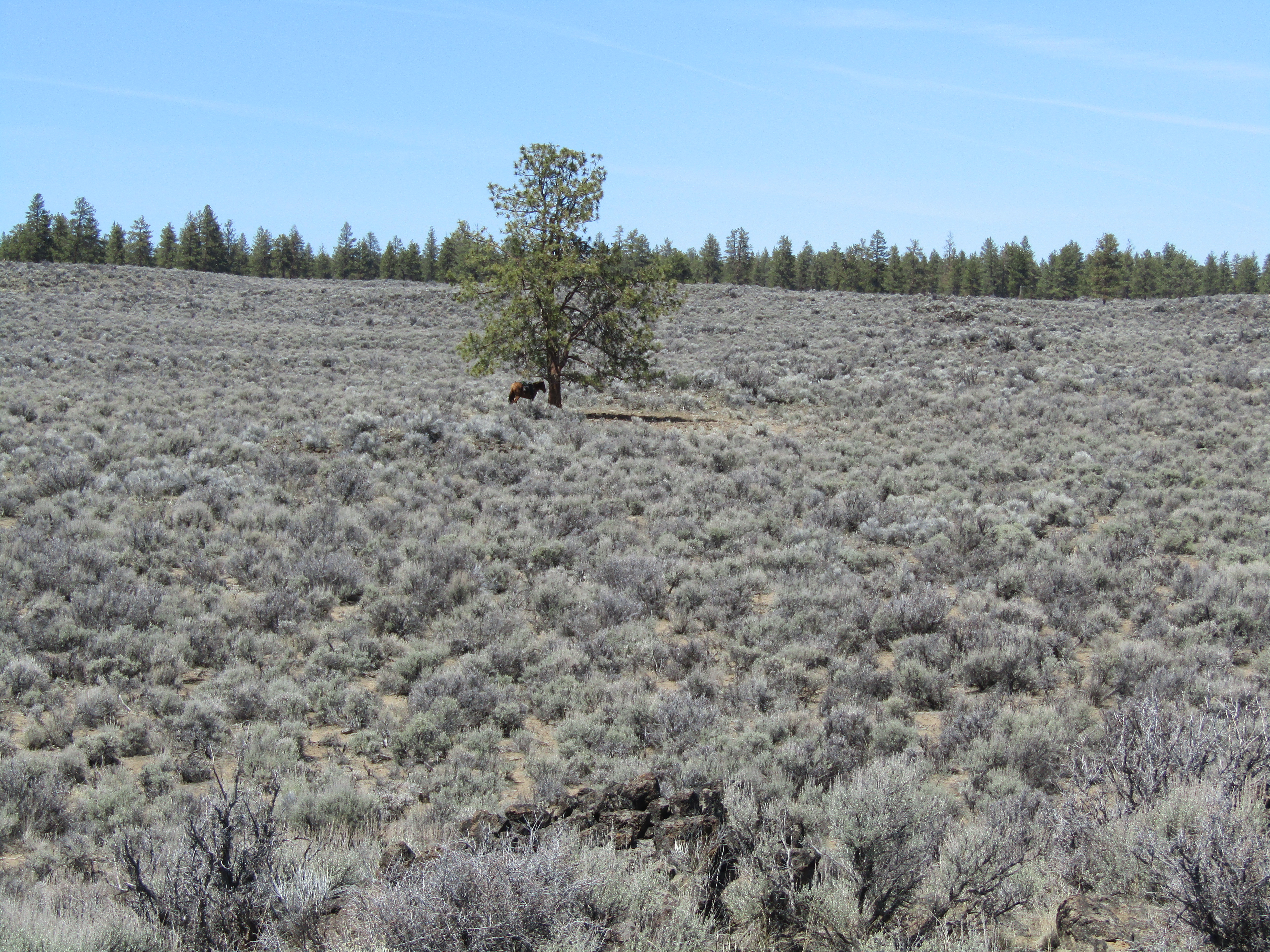
The next day I followed the two track that leaves right from camp but it didn't go very far, I ended up near a spring fed water trough on a hill. So after that I rode cross country for awhile heading towards Little Catnip Springs Road that I could see way in the distance. This area is quite flat, which is deceiving because it seemed like I could just ride straight across, but as it turned out there was a canyon in the way. I could see an old homestead from up on the rim so of course I needed to check that out. This meant riding across some really rocky ground, until I found a way down into the canyon, crossed over Fish Creek and then made it to Andy's Place, the official name on the refuge brochure map.
 |
| The two track that leaves from camp. |
 |
| This area has very few trees, just a solo Mountain Mahogany every once in a long while. |
 |
| Andy's Place, from up above on the canyon rim. |
 |
| Andy's Place. |
This had already taken over two hours, so after that I followed the road past Andy's Place, but it, like a lot of the roads out there went on forever, so although I got a view of Swan Lake Reservoir from afar, I had to turn back. Although this is a wildlife refuge, I did not see much wildlife, a few antelope, but that was it. No more wild burros or horses, other than obvious signs that they had been there before me.
 |
| Little Catnip Spring Road, goes on and on and on. |
 |
| Looking at Swan Lake Reservoir. |
This was the only day I encountered people, as I was on my way back three guys on dirt bikes went by, going on a little excursion, stopping at Andy's Place and doing some sightseeing. Although I am not a dirt bike person I could see how this would be a good way to see a lot more of the refuge.
This area can be quite windy, and I noticed that when I would get back to camp, the wind would gust quite a bit, but for some reason it never continued overnight. The next morning it was pretty consistently windy for the first two hours of my ride. First I climbed up onto a butte across from camp, where I got some more cell service. Then I followed Mud Spring Canyon Road all the way to Hell Creek Campground which is one of a few backcountry camps on the refuge. No amenities, just a cleared spot to camp near the creek. The roads that get to the backcountry camps are not easily driveable without a high clearance 4x4 vehicle and in spring at least, there will be some flooded areas.
 |
| Fish Springs from atop a nearby butte. |
I rode a little bit past the back country camp and came across a very pretty area with some high snow capped mountains in the distance. This was my turn around spot, since according to the map there was no way to make a loop all the way around Blowout Mt.
 |
| This whole area is chock full of Obsidian, it's everywhere. |
 |
| At the junction to Hell Creek backcountry camp. |
 |
| Snow covered mountains in the distance, from Hell Creek Road. |
 |
| Sand lilies as far as the eye can see on Hell Creek Road. |
 |
| On Hell Creek Road. |
That night it rained and I did worry a little bit about the road getting mucky again, but everything was fine on my drive out the next day, the rutted area had gotten packed down, and was considerably better.
Since I had ended up going to Virgin Valley first, I did not have time to check out Badger Horse Camp, but it is another 10 miles or so further into the refuge, past Fish Spring.
GPS COORDINATES TO VIRGIN VALLEY
GPS COORDINATES TO FISH SPRING