In 2020 I went to the Sawtooth's for the first time, and after doing eight rides, I knew I would have to return, since there were still at least that many more rides left for me to do. On this second trip I started at Grandjean Horse Camp which is on the west side of the mountain range. To read about the first visit into the Sawtooth's, click here: Tin Cup, Redfish, Iron Creek
 |
| Baron Lake. |
Sadly, after driving all day, once I got to the dirt road that leads to camp, the 7 or so miles of constant potholes slowed me right down. I remembered this about my previous trip, the riding is beautiful, but the roads are horrendous. Finally I pulled in and realized that finding a good spot was going to be tricky. No one was camped there, but the only spot I thought I could get into and be somewhat level, was right near the backpackers parking area. So I got myself situated by the horse trailhead instead, with my corral set up in site #30. More about that later....
When I walked down the camp road to the pay station, it said, "pick a spot and the host will contact you." It was late and so I settled in and went to bed.
 |
| Grandjean Horse Camp. |
Grandjean has 8 spots with hitching rails, on a separate road from the nearby people campground. This is not a great camp for bigger rigs, some of the spots are long enough, but maneuvering around with a lot of trees in the way can be tricky. It is not a one way road though, so driving in from either direction is possible in order to fit into a site. There are two bathrooms, a stock water trough, that is hidden in the trees, ( I didn't even notice it until the next morning ), and a potable water spigot, that you cannot attach a hose to, in the backpackers parking area. There is a dumpster and recycling container, but no manure bin. I have an old book about the area, and the description said there were corrals. What this refers to is some corrals, out of sight, up above the camp, next to an old guard station, but you cannot get a rig up there, and you can't use those corrals anyway. This is a first come, first serve camp and it is $20 a night. There is absolutely no cell service.
 |
| The mapboard at Grandjean Horse Camp. |
In the morning since I was dealing with an hour time difference, it seemed I needed to get moving quickly, and I knew the rides in this area were going to be long. I started on the S. Fork Payette River Trail which meanders though a valley and then climbs gradually to Elk Lake and beyond. I turned back when I came across a walkway over a boggy area which was completely falling apart. I might have been able to cross it, or go around somehow, but although I had a map, and the trailhead also had a map, nothing had mileage on it, so I had no idea how much further it was to the lake.
 |
| One of the creek crossings on the S. Fork Payette River Trail. |
 |
| On the S. Fork Payette River Trail. |
 |
| A nice mini waterfall. |
 |
| Where I turned around. |
 |
| Heading back down the S. Fork Payette River Trail. |
That evening as I was perusing my map and trying to decide if I was going to do two or three days of riding, a guy drove in, who turned out to be the camp host. He immediately asked me why I was camped there, and not in the horse camp. As I mentioned before, I was near the trailhead, and my corral was set up in a spot right behind my trailer. There was no way I could have fit into the actual parking area for that spot. What I shortly learned from the camp host was that where I was parked, by mere feet, was actually considered the trailhead, where you can leave a rig, in order to pack in, but you aren't supposed to actually camp there. He asked if I would move. We had a little chat about it, and he said he realized that there was no way to know that you can't camp there, no signage, nothing, so he said he would let it slide this time. I also didn't know yet how long I was going to stay, but he said as long as I was just there for a few days, it would be fine. Apparently people have camped at the trailhead on purpose, instead of in the sites, because they think they can get away without paying, but that was not my intention.
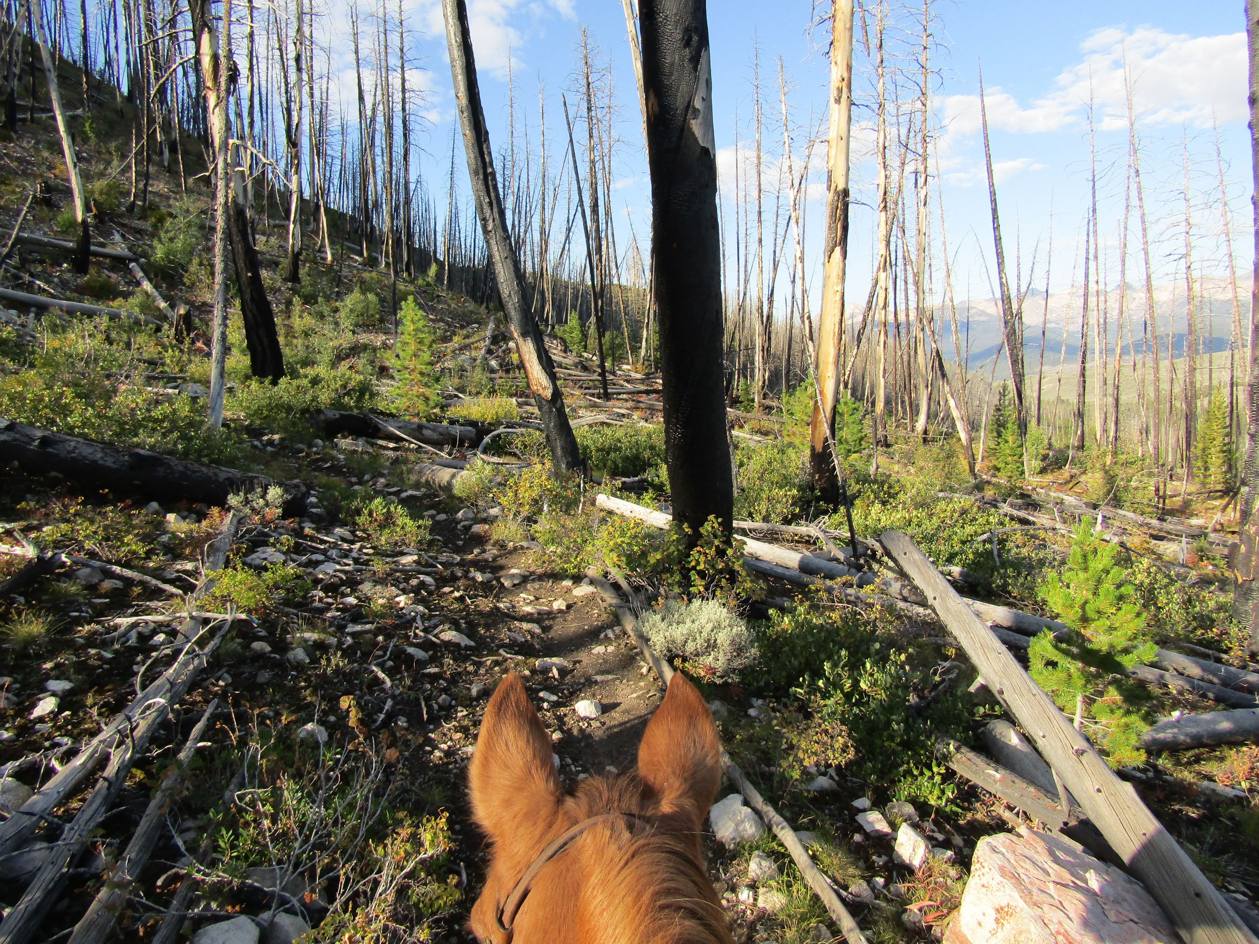
The following day I got an early start, to ride the approximately 20 mile out and back to Baron Lakes along the Baron Creek Trail. Obviously this trail, as well as everything else in the area, can be done as a loop instead, if you are packing in. The trail starts out easy and then has a switchback section climbing up to the lakes.
 |
| On the Baron Creek Trail. |
I passed Baron Falls and then eventually there are three lakes, the lower one is not in sight, but the trail goes right past the middle one, the largest lake, which is where I stopped. This took 9 hours to complete, with a few short breaks.
 |
| Starting to climb, on the Baron Creek Trail. |
 |
| On the Baron Creek Trail. |
 |
| Baron Falls. |
 |
| At Baron Lake. |
 |
| At Baron Lake. |
 |
| On the way back down the Baron Creek Trail. |
 |
| On the way back down the Baron Creek Trail. |
On the last day I rode the Trail Creek Trail which is shorter, about 12 miles, but steeper, with several creek crossings, one of which is a little "interesting". The camp host had mentioned that he had not heard of a horse actually going on the side trail up to the lakes, and he warned me about a boggy section. Once you leave the main trail and start the climb, it does become much steeper with boulder sections. The boggy stuff was actually not a problem, but it could be worse earlier in the season. Just like Baron, there is more than one lake, but I just went to the lower one. This is in a burned area, and any non designated side trails tended to not be cleared.
 |
| On the Trail Creeks Trail. |
 |
| Some very pretty rock, in the creek. |
 |
| On the Trail Creeks Trail. |
 |
| Trail Creek Lake. |
 |
| Trail Creek Lake. |
That evening the camp host came back over to see me, he seemed a little perturbed, since he had assumed I was leaving that day. I said no, but I would be gone the next day. He asked me a bunch more questions and it seemed clear that even though I had wanted to go over to the hot springs in the morning, when the outside temperature was cooler, he wanted me to be out of there pretty early. So much for my relaxing day off from riding....
At that point it was 6pm so I gathered my stuff and I walked over to the river where Sacajawea Hot Springs are. They are not really close to the horse camp, just over a mile and a half, one way, but I was determined to have enough time to enjoy them, and then get back by dark. People have made rock lined pools to catch the scalding hot water that flows out of the side of a hill and mixes with the river water. I chatted with a girl who was also there solo, but it wasn't super busy even on a Friday night. Also there are quite a few different pools, and they are separated along the river, so you can find your own little spot.
 |
| One of the pools at Sacajawea Hot Springs. |
As I was walking back, the camp host happened to be driving by, and asked if I wanted a ride. I took him up on it, which was only a little awkward, since by this time our interactions were slightly strained. I do understand his point of view, he thought he was doing me a favor by not making me move, but he was definitely stressed out about it the whole time. Hopefully the forest service will add some signs at some point, also if someone does camp in one of the actual spots, and then packs in for several days, it's a bit of a mystery on how you would be charged for that. Maybe just for the nights you spend in the actual camp, not the nights out on the trail. Not everybody can just arrive and leave to pack in on the same day, especially if they live out of the area.
The next morning as I was driving out, someone in a car ahead of me was stopped along the road. I pulled over to see what was happening and a guy told me that there was a truck hanging off the side of the hill. I could see a small tree had been bent, and the truck was caught precariously on it, looking like it could roll down the embankment, but it had not, which was quite lucky. The people that had stopped were in a tizzy because they thought someone might still be in the vehicle. The windows were tinted but I could see footprints where someone had climbed out, and that the airbag was deployed, but nobody was in the drivers seat. I continued on my way, and a short while later a tow truck passed me, so that took care of that. I was actually amazed that a tow truck would come all the way out there on a gravel road, because in Oregon they will not drive off pavement.
This is just the first blog of three, so stay tuned for the next leg of the journey.
GPS COORDINATES TO GRANDJEAN