Keenes is not new to me, I was there about 9 years ago, camping with friends, but although it was late July at the time, it was a heavy snow year and most of the trails we attempted were blocked at the higher elevations. I also drove by again about 7 years ago on my way to Walupt Horse Camp, and I stopped and did a couple of rides on my way to and from. To read about those rides click on Walupt Horse Camp
 |
| The money shot, Mt. Adams from Muddy Meadows. |
This time I was just trying to find somewhere.... anywhere... that was not smoky, and I realized there were still trails in that area that I had not yet explored. I also knew that coming from Central OR, the quickest route was for me to follow gravel forest service roads from the Trout Lake area. I knew it would be slow going, so I was prepared for that. At first it seemed much better than it once was, a long stretch of road had since been paved, but once I got to Rd. 2329, the 6 or so miles of deep potholed, washboard, non graded dirt road was considerably worse than I had encountered in the past, and since it was the very end of my trip, it was hard to be patient about the puttering along I had to do.
At one point my truck was rocking so badly, that my water barrel started sliding backward, snapped the bungee holding it in place, and tipped completely over. Somehow with superhuman strength I was able to lift and leverage the full 55 gallon barrel back into position, without losing too much water, and then at last, I arrived at Keenes.
 |
| The horse camp sign at the "old" camp loop. |
I pulled into spot #4 and then hummed and hawed for awhile about whether I even wanted to stay. My original plan had been to go to Cody Horse Camp, since I have never been there, then double back and disperse camp somewhere in the general area of Keenes. As I was contemplating all of this, a lady named Norma wandered into camp and we got to chatting. Her and her husband Gary were camped about a 1/4 mile away in the best dispersed spot with water access from a creek. I talked about my options with her, and realized I should just stay put for the time being. Most of the creeks were dry near the primitive camping spots and Cody is at a lower elevation, and would be better for earlier season riding anyway.
 |
| Spot #4 at Keenes Horse Camp. |
Keenes started out as one camp, and then a second camp was added in later years, so there are two completely different loop areas to choose from on the same stretch of road. I will describe each camp separately:
The "old" camp loop has spots 9 through 13, with high line poles, but no ropes, all of which are back-in except for #10 which is pull though. There is a nice sized, no fee, day use area that has a water trough, and there is also stock water from the creek, which is especially easy to access from site #11. There is a bathroom, with a garbage can, a manure bin, and it is $16.00 per night. This camp is not as well used, and does not have as much room for larger rigs.
The "new" camp loop has spots 1 through 8, with high line poles, but no ropes, and this camp can accommodate larger rigs especially in sites #1 and #2. The spots are either pull through or have room to park alongside the camp road, except for #3 which is tiny, and has no real room at all, except for someone who has a miniscule rig. There is a bathroom, with a garbage can, a mounting ramp, a water trough near the entrance, and what may sometimes be creek access, (it was dry when I was there).There are two manure bins, and it is $16.00 per night.
 |
| The water trough in the "new" camp loop. |
Both camps were deserted the first night I was there, which was a Tuesday.
The next day I decided to ride over to Cody Horse Camp since I was still curious about it. This turned out to be a really nice camp, nicer than Keenes actually. I had a not very detailed map, that I had printed out from the forest service website, and Cody was not actually on my map, but I figured out which trails to follow to get there. On the way back I went a slightly different way, making a loop. Other than one open area, this is a forested ride with no big views, although you could also take a detour and visit Midway Meadow along the way.
 |
| The one view on the Klickitat Trail on the way to Cody Horse Camp. |
Cody has 16 spots, they are all pull through and most of them can accommodate larger rigs. There is a bathroom, with a garbage can, two manure bins, a smallish day use area, with a mounting ramp, and although it used to be free, they are charging $16.00 per night now. There are three water sources, a nearby creek, a handpump, with potable water or a water trough with stock water. There are instructions on how to either get the potable water, or switch a valve over in order to pump stock water into the trough. The sites all have highline poles complete with ropes attached. No one was camped there when I rode through.
 |
| Cody Horse Camp. |
The Klickitat Trail runs through this camp and the part that I rode was cleared, but from what I understand the rest of the trail might not be in great shape. I have no idea what kind of mileage I did on this ride or for that matter, any of the rides on this trip, but this loop took 7 hours, which includes stops for snacks and checking out the camp.
 |
| The day use area at Cody Horse Camp. |
 |
| On the Klickitat Trail. |
That evening I was wandering through the old camp loop, and I came across Gary, Norma's husband who was also wandering through the old camp loop. We chatted for awhile and he gave me some good info about which rides were the most scenic, and which to skip. He also told me about a lake that I might want to see, that I would not know was there, without being informed.
So the next day, I followed his instructions, I have a good memory, which is quite convenient, especially when I have nothing else for guidance. I rode up the Muddy Meadows Trail to the Highline Trail, then followed that to Foggy Flat, which is an open lava filled area with Mt. Adams views, as well as views over to the Goat Rocks and Mt. Rainier.
 |
| On the Muddy Meadows Trail. |
 |
| On the Highline Trail. |
 |
| Views of the Goat Rocks from Foggy Flat. |
Then I went south for awhile on the PCT to a couple of waterfalls, located the lake that Gary had told me about, and then continued on a loop down the Killen Creek Trail, which made this a 7.5 hour ride. The Killen Creek Trail, although better than it once was, has quite a few high log steps, and so when planning loops it might be better to go up this trail, rather than down it.
 |
| The unnamed lake hidden below the waterfall. |
 |
| A waterfall along the PCT. |
 |
| On the PCT. |
That evening I walked over to Gary and Norma's camp spot and we hung out for a few hours talking about, what else, trails and riding!
In the morning it was overcast, and then just as I finished tacking up, it started to rain, so I grabbed my rain jacket at the last minute, and was glad I did, because it didn't let up for most of the day. It also got very foggy, so any views I may have had were obliterated, but I chose to ride to the top of Green Mountain, where I have been before, and I also went past Horseshoe Lake and followed the Chain of Lakes Trail, until I got tired of being cold and soggy.
 |
| Atop Green Mountain, a total whiteout. |
 |
| What the view is actually like atop Green Mt....Pic from 2012. |
 |
| On the Chain of Lakes Trail. |
 |
| A foggy version of Horseshoe Lake. |
When I got back I met a group of people that had arrived, and we spent that evening talking about, what else, trails and riding! Also they had a propane fire for us to huddle around, which was very nice, since we were all a little chilled. One of the people, Jeff, had a cute molly mule and I mentioned that I had ridden donkey's, but for some reason never a mule and so he said I should ride her in the morning.
He wasn't kidding.... the next day as he waited for his companions to get ready, which took a long time, he brought Ellie the mule over and I took her for a spin on the camp road. I have a suspicion he was trying to convert me over from horses. But that probably isn't going to happen, at least not yet, although I did think she was a sweetie, and I liked her fast walk.
 |
| An impromptu ride on Ellie. |
Saturday was bright and sunny, with a lovely blue sky, but I needed to give my horse a day off, so after my mule ride I went ahead and got packed up and drove about 4 miles back over to Divide Camp. After much thought I had decided to go back the same way, along the crappy road, since it was just too far out of my way to try another direction.
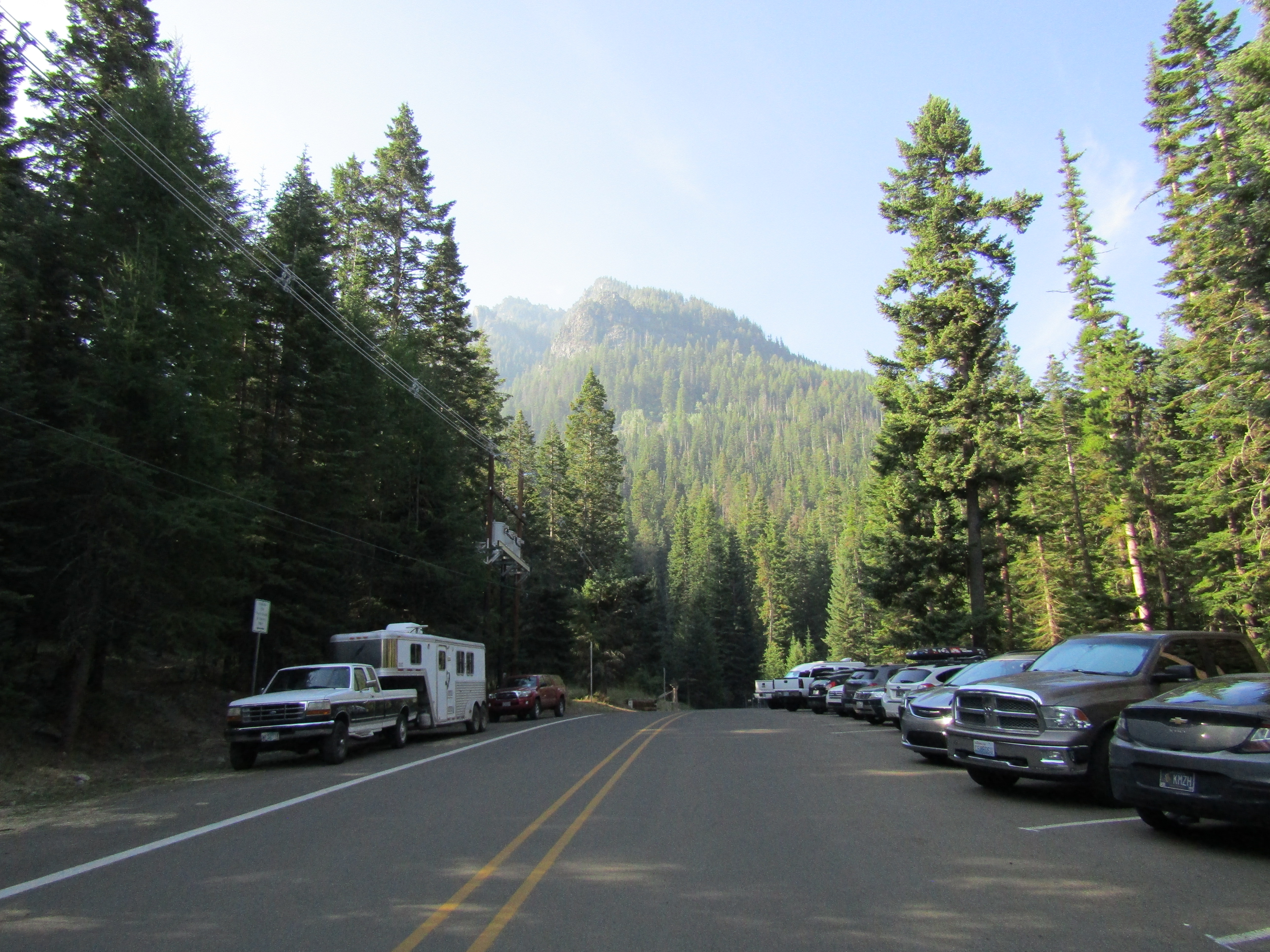
Divide Camp is a trailhead, with no water, no bathroom or any other amenities. Although Gary and Jeff had both seemed sure that no one ever used that area, when I arrived the lot had about nine cars in it, so squeezing my rig into there was out of the question, but there was a very nice grassy dispersed spot across the road where I got myself situated instead.
 |
| My grassy dispersed spot at Divide Camp. |
The Divide Camp Trail heads uphill, not surprisingly, to the PCT, and once I reached it, I rode south. There were Mt. Adams views here and there, it was a little cloudy so the mountain was sometimes only partially visible. I rode into an area with some small meadows, where I stopped for snacks, but of course I eventually had to turn around. I considered going back down a different way, along the Riley Camp Trail. I wanted to do a long ride, but I wasn't sure how much longer this would be.
 |
| Mt. Adams hiding in some clouds. |
 |
| Lava on the PCT. |
 |
| On the PCT. |
 |
| Some small meadows on the PCT. |
 |
| On the PCT. |
Right as I got back to the junction I ran into a couple of backpackers, and I asked them if the trail came out at Rd. 2329 and they both said yes. This turned out to be incorrect, and as I continued to descend I could tell by the way the trail was veering, I was going to be a lot farther away than I wanted to be. But I had to accept the consequences, because it was also a little too late to turn around. Long story short, I had to ride back nearly 9 miles on the road, and it was a Sunday so there was a more than normal amount of traffic. I need to be careful what I wish for, I definitely got my long ride, clocking in at 9.5 hours.
 |
| Quite a few lakes and ponds on the Riley Camp Trail. |
 |
| A well camouflaged owl on the Riley Camp Trail. |
 |
| Takh Takh Meadows is along Rd. 2329, not too far from Divide Camp. |
That concluded my trip, the next day I 4x4ed my way back out, and headed home.
The good news for anyone coming from a different direction is that the roads from the north, although still potholed, are light years better than the one that I drove in on.