I rode a lot in the Ochoco's and the Malheurs in Oregon with the wild horses there, and so I knew that one place I could see some, now that I am in Colorado, is at the Little Book Cliffs Wild Horse Range, not too far from Grand Junction.
 |
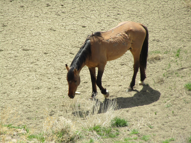
| A palomino stallion at the Little Book Cliffs. |
I had checked the area out once before by car and so I knew I could get my LQ in there, barely. There are a couple of washes you have to drive through, ( I wouldn't suggest taking a really long rig in, or one without a lot of clearance) otherwise the road isn't bad. There is a large shooting range before you get to the trailhead. Some of the shooting goes on right next to the road, I felt bad for my pony, who probably got deafened in the back of the trailer as we were passing by.
When you get there you can still here the shots echoing off the cliffs, but it was a busy Sunday, and the next couple days were much quieter.
 |
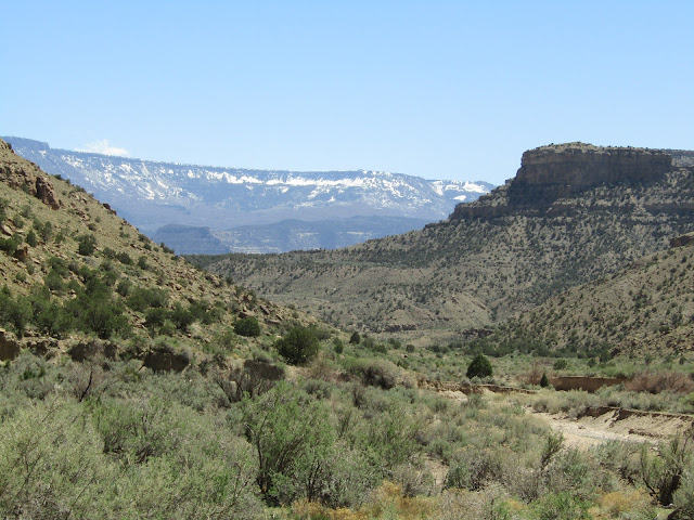
| Coal Canyon Trailhead. |
Coal Canyon Trailhead has a bathroom and plenty of room for parking trailers. There are two dispersed camping spots, one under the huge powerlines, which is the one thing that mars the beauty of the area, and another one, if you want to drive through yet another wash, on the left just before the fence line. This main trailhead is open all year, but there is a gate that goes into the wild horse area that is closed from December 1st until May 1st... or 30th, depending whether you believe the sign that is on the gate, or what it says on the BLM website. This means that foot and horse traffic is always allowed, and during the open season, motorized use is allowed on roads, but not trails. There are no other amenities and no water. I had plenty of cell service, with Verizon.
 |
| One of the camping spots. |
The trailhead has a map and I also had an online map, they were very different though, so for the most part I just followed my nose. There were some other people riding that day and as I started out on the Coal Canyon Trail, they were coming back, and informed me that some of the wild horses were up ahead on the left.
 |
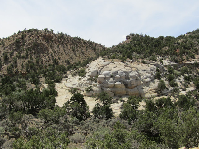
| Hoodoos on the Coal Canyon Trail. |
 |
| Lots of Indian Paintbrush. |
 |
| Some interesting white rock formations in the area. |
Because I decided to check out the horses I veered up a steep trail and since I was already up there, after observing them, I decided to just keep going toward a fence line with a gate.
 |
| Spotted some of the wild horses. |
 |
| My pony watching the wild horses. |
 |
| They were down in a basin below me. |
 |
| The stallion looks a little beat up. |
Passing through the gate took me out of the wild horse area and on to a trail that started heading downhill and over towards civilization. A couple of cyclists saw me and said they had never seen an equestrian out there before, but they thought it was really cool. After awhile I found myself on a cliffside way above 1-70 looking down on Palisade, and with great views of the Grand Mesa.
 |
| Views of the Grand Mesa. |
 |
| Riding along a cliff way above 1-70. |
 |
| A colorful collared lizard. My first time seeing one. |
I turned back eventually, as this trail would have ended up down at the highway, which is not where I wanted to be. I passed by the wild horses again and then made my way back to camp.
 |
| Heading back on the Coal Canyon Trail. |
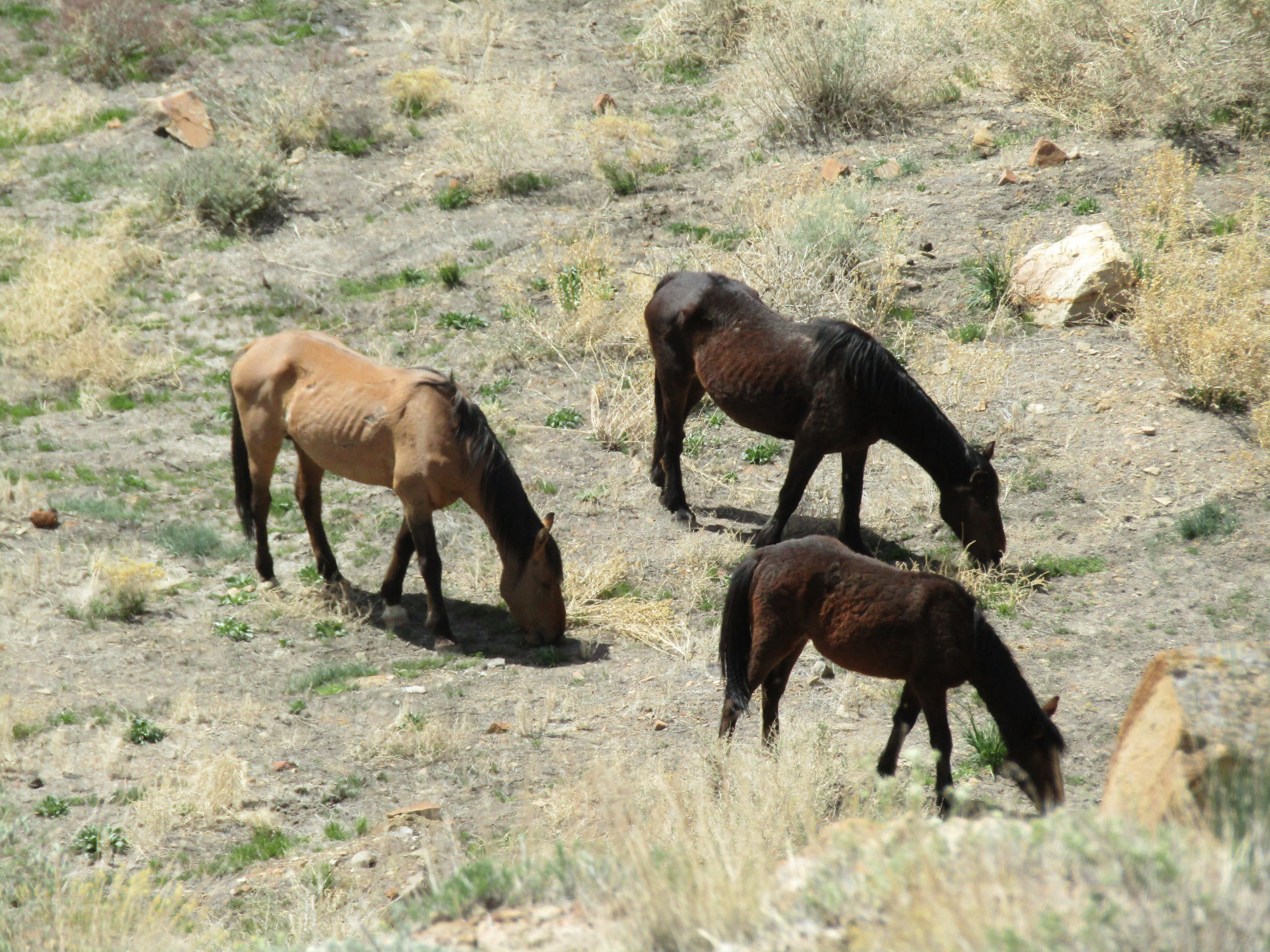
The next day I dropped down into the Main Canyon to follow that trail and potentially make a loop. The Main Canyon has water running through it, not much, but enough to sustain the wildlife. The trail is narrow and steep getting into the canyon but then totally flat after that. It didn't take long before I found the first of many horses. Because there is not a lot of wide open space in these canyons several different herds have to coexist. I found myself with a black stallion standing right on the trail, with his herd, and a palomino stallion directly on the other side of the creek, so I had no choice but to ride right down the middle. As I mentioned I have seen quite a few wild horses over the years but I learned quickly that these ones are especially relaxed about humans. As I rode directly beneath the black stallion who at this point was on the creek bank about 12 feet above me, he didn't even look my way. He was keeping an eye on the palomino. They are clearly very used to people and domestic horse traffic.
 |
| On the Main Canyon Trail. |
 |
| Just enough water to sustain the wildlife. |
 |
| Wild horses in the Main Canyon. |
 |
| This horse looks just like my friend's mare. |
 |
| A pregnant mare. |
 |
| This is what happens when you never get weaned! |
Eventually I got to a junction with the Cottonwood Canyon Trail which I would have liked to have done as part of a loop, but as I started climbing it there were some big rock areas that you had to hop up. My pony is getting older and although she can go all day still and does uphill without issue, coming back down steep stuff with big steps where she has to jump with her two front feet, while then maneuvering her back feet down is getting harder on her. So I decided to just go back the same way, I'll leave the mountain goat trails for another time, when I have a younger spry horse.
 |
| Some interesting rocks in one area. |
 |
| The Grand Mesa. |
As expected, I ran into the wild horses again, the black stallion and his herd were gone, but another bay stallion with what I thought was his herd, (more about that later), was blocking my way back, so as I was scoping out a way to get around him, I ended up on a ledge above them. I hung out there for awhile and then eventually made my way past the bay.
As I got to the trail that lead back up to camp, I spotted some Bighorn Sheep. They were also unconcerned about my presence, which makes for great picture taking opportunities. I happened to look up as I was riding on the narrow part of the trail, and there was a lone black bachelor, watching me from afar, on the tip top of a very steep slope.
 |
| Hanging out on a ledge above one of the herds. |
 |
| The palomino stallion at the creek. |
 |
| Heading back to the trailhead. |
 |
| Bighorn Sheep. |
 |
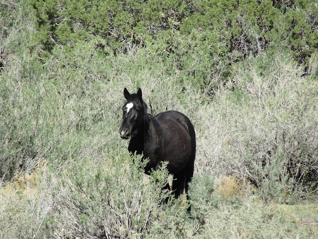
| The solo bachelor. |
 |
| He was on the side of a steep slope. This is just the top quarter of the cliff. |
 |
| More sheep, close to the trailhead. |
That evening at camp there was no one around, except for an older couple who were taking a short hike. I was busy checking myself and my horse for ticks, there were a few, when suddenly I spotted some of the horses coming over the ridge. That is when I realized it was the bay stallion from earlier and his herd was actually a bachelor band. Meanwhile the lone black was still up on the slope mostly minding his own business, but the bay was going along the hillside trying to chase him around a little bit. Meanwhile four more bachelors arrived on the scene. It was quite the horse drama, and the hikers were standing watching all of this when the four new stallions went galloping by them.
At one point the bay came over near the fence because he saw my mare, since I wasn't riding her he probably thought he was seeing a viable mate, but then he saw me, eyeballed me for a minute, and then thought better of it. Meanwhile the hikers came over and I was explaining herd behavior to them, and why all of it was happening. The four new bachelors went across the cliffside and fetched the solo black, and they all came down off of the very steep cliffs, Man From Snowy River style.
 |
| The bay, on the other side of the fence, checking my mare out. |
 |
| A young bachelor. |
 |
| Another bachelor, hanging with the bay. |
 |
| Four more bachelors showed up along the cliffside. |
 |
| Close up of the four other bachelors. |
I left the next day and did another ride on the way home, but there are multiple other trails I could have done. There are also a couple of other access points, one of which is from De Beque, but like a lot of BLM and forest service roads in this state, most are not maintained, and taking a trailer on them would be a disaster. I have found that I can't drive around willy nilly like I used to, most roads need to be scoped out ahead of time.