Sheep Springs is a very popular camp, with easy trails, a beautiful setting, and convenient early season accessibility.
 |
| Mt. Jefferson views from Sheep Springs Horse Camp. |
To get there: From Sisters drive west on Hwy 20 for 12.5 miles, take a right at the sign for Camp Sherman, then follow the horse camp signs for the next 9 miles, the last few miles are on gravel.
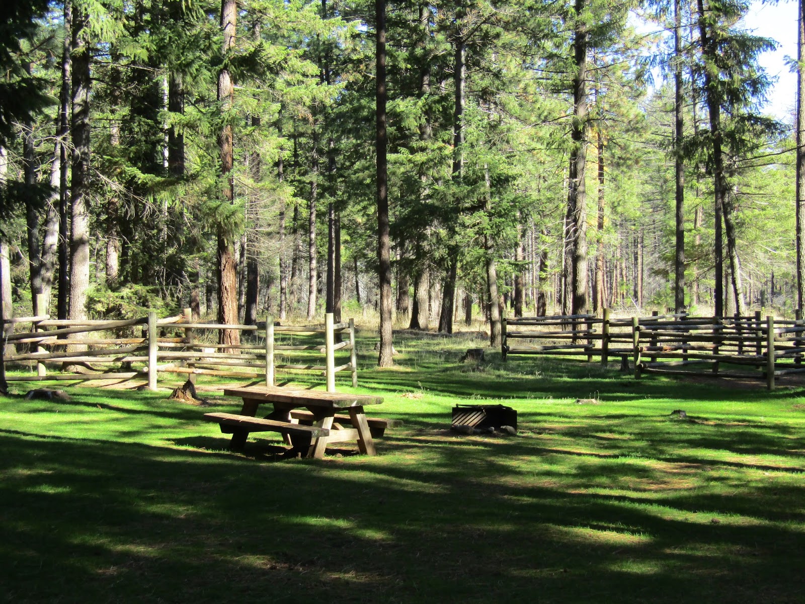
Sheep Springs has 11 spots, with four horse log corrals, and there is an extra camp host spot.
Update: site #9 now has brand new steel corrals. There are two manure bins, one at each end of camp, two bathrooms, a hand pump with potable water, and a separate small stock water trough. Both water sources are close to the entrance.
There is no day use area, but you can park in a dispersed camping area, on the left just before reaching camp. You can find season dates or make reservations ( probably a good idea ) on Recreation.gov and it is $16.00 per night. There is no gate, so riding or camping here can be done even when the camp is officially closed.
 |
| Sheep Springs Horse Camp. |
 |
| Sheep Springs Horse Camp. |
 |
| One of the water sources just outside the entrance to camp. |
There are a couple of beautiful rides within a short drive on bumpy gravel roads, if you are there at the right time of year to be able to get into the high country, and if trailering out is an option: Canyon Creek Meadows, starting from Jack Lake, and the ride to
Cabot and Carl Lake.
Green Ridge is another fairly close option which can be done early in the season.
There are also several nice rides from camp:
The Metolius Windigo Trail is across the road, and you can ride it south as long as you want, if you make it all the way to the crossing over the Metolius River at Riverside Campground and then turn back, that is about a 21 mile ride.
 |
| Along the Metolius Windigo Trail. |
 |
| Three Fingered Jack from the Metolius Windigo Trail. |
 |
| On the Metolius Windigo Trail. |
 |
| On the Metolius Windigo Trail. |
 |
| One of the signs on the Met Win. |
You can also follow the Met Win to the west towards Bear Valley. It climbs gradually, eventually reaching the junctions with the Rockpile Lake Trail and the trail to Minto Lake. Unfortunately neither of these trails are being maintained anymore, so from here it's best to just admire the valley and turn around making it a 10 mile out and back ride. Rockpile has been cleared in the past and may be again, but Minto has not been maintained in years.
 |
| On the trail to Bear Valley. |
 |
| Riding back down from Bear Valley, Green Ridge in the distance. |
Another option is to follow the trail behind sites 8 and 9, which heads over a small hill briefly and where you will then get a great view of Mt. Jefferson. You can continue on from there and do some loop rides since there are a lot of trails you won't find on a map, but that horse campers have made over the years.
 |
| Views of Mt. Jefferson. |
 |
| Views from the small hill behind camp. |
 |
| Fall colors in the burned area. |
You can also loop past the Redmond Saddle Club over to the Metolius River and then follow Canyon Creek back.
 |
| The Metolius River. |
 |
| Canyon Creek. |
Owls live in this area and I have seen more than one on my various escapades. They blend in rather well in the trees, you never know when one is right above your head watching you!
 |
| The owls are around if you are lucky enough to spot them. |
If you feel like a break from camping, Camp Sherman is so close you can drive in, have dinner at one of the restaurants, pick up supplies from the store, and explore some of the area, including the Head of the Metolius (where the beginning of the river literally appears out of the ground) or the Wizard Falls Fish Hatchery.
Happy Trails!
GPS COORDINATES TO SHEEP SPRINGS


Love this area, Minto Pass was a beautiful trail when I rode it years ago from Jack Lake, before the big fire! Thanks for your recent update on the area!
ReplyDeleteSugar Pine and Jefferson Lake have also not been maintained as I am sure you know, but I just heard recently that Jefferson Lake got cleared late this year...exciting since I have never been able to ride there, I moved here after the fire. :)
ReplyDeleteThank you for the pictures Holly, I've been gone from Oregon for 34 years and I still miss it every day!
ReplyDelete:)
DeleteAbsolutely love your blogs! Great information! Two questions:
ReplyDeleteWe ride barefoot as much as possible and boot front feet only as necessary. We seem to be able to handle a fair amount of rock, as long as rock is broken up with stretches of dirt. Are you riding shod or barefoot? Could you add your recommendations to shoe or not on trails you ride?
We would like to electronically log trails we ride (with things like distance, elevation, speed, the route taken, etc). There are a number of route tracker apps for smart phones that allow this sort of thing. Have you tried any of them? Can you make any recommendations about the those that work well without being too much of a battery drain?
Thanks! Happy trails!
Hi,
DeleteMy main riding horse (Rina) featured in all the blogs is always shod...I ride too much to even try barefoot with her. I do ride my project horses barefoot though but they get ridden a fraction of the time I spend on Rina. I'll think about adding that info....I find it a little tricky to mention whether a trail is barefoot friendly or not because some obviously are okay but some are a little more hard for me to judge. Or some are good most of the way but there might be a bad stretch for awhile. There are trails I personally would not take a barefoot horse on but other people would.....That's one reason I don't put my opinion very often on whether a trail is difficult or easy, since that is very subjective! Sheep Springs as an example definitely does have good barefoot trails...but I wrote a blog about Alder Springs and I did mention that I would not ride a barefoot horse there, a friend of mine contacted me and asked how bad it was, and she went and did it barefoot anyway and was fine!
I do not use any apps for tracking so I can not be helpful with that...sorry....my particular phone's battery probably couldn't handle that kind of thing anyway and I would rather save it for any possible emergency. Happy trails to you!