Sometimes when I have fairly low expectations of an area due to no real information ahead of time, I can be pleasantly surprised. This happened with both of these camps, but especially Sam Brown.
 |
| Mt. McLoughlin from Hyatt Lake. |
Sam Brown had been on my mind for early season riding for a number of years, and yet I have always skipped it, and gone somewhere else instead. Seeing as how, at the time, the forest service website for this area had not been updated since early 2013, I wasn't completely sure what I was getting myself into. But I packed up and drove on over to Merlin Oregon, and proceeded up into the hills. The last 14 miles is on a one lane road, however it is paved, has pullouts, and in most places is wide enough for someone to pass. On my way up I saw no other vehicles, but on my way back down I saw two, both of course on the narrowest sections, one guy who had to back up and let me by, and one guy who squeezed his way past me.
Arriving at camp my immediate thought was that it was no longer being maintained, and as it turns out this is partially true.
It used to be a regular pay camp, but for the past few years it and the people campground of the same name that is nearby, are both free.
 |
| Sam Brown Horse Camp is off of a paved one lane road. |
 |
| Sam Brown Horse Camp. |
Sam Brown is right beside Briggs Creek and has 7 spots, with wooden corrals. A couple of the spots have newer upgraded corrals which are bigger, the older ones are very small. Most of them are useable and not as dilapidated as I thought at first glance, but there are a few that are missing a gate, and most of them need to be tied closed with baling twine, or whatever you have handy.
There is a bathroom, a manure bin, a grey water dump, and potable water from a hand pump which has been oiled, and is the easiest hand pump I have ever used.
Several spots are big enough for larger rigs, the trick is not to bash your truck into the large boulders that have been placed inconveniently around the loop road.
Update: The Back Country Horsemen have been doing some remodeling of the corrals, and the camp is now no longer free, the website says $15.00 per night.
 |
| Rickety corrals at Sam Brown Horse Camp. |
I decided to ride up the Dutchy Creek Trail which leaves right from camp. Most of the trails in this area are also used by motorcycles, which is good and bad. Bad, for obvious reasons, especially since some of the trails have narrow sections that make it hard to get out of the way, if need be. Good, because they have been maintained and cleared. Since this was during the week I hoped not to run into anybody. The first part of the Dutchy Creek Trail was clearly well used, but then it started heading uphill and became less so, there were some small downed trees and since it was on a hillside I eventually got tired of getting off and dragging my horse around everything, so I went back down, got onto a logging road instead and followed it uphill, until it dead ended with a view.
 |
| On the Dutchy Creek Trail. |
 |
| A logging road dead ends with a nice view. |
After coming back down I rode around in the people campground for awhile, which I found to be an interesting area. There is a large meadow, with a few apple trees and lots of flowers, which used to be the mining town of Briggs.
There are several informational plaques set up near the picnic site, about the town and it's history.
And I found the grave of Sam Brown, who according to my hiking book was one of the first black men in Southern Oregon. He was a barkeep, and was shot and killed because he was a little too frisky with some of the miners wives!
 |
| The meadow that used to be the mining town of Briggs. |
 |
| Several plaques describe the history of the area. |
 |
| Sam Brown's grave. |
On my second day I was getting ready to ride when a forest ranger guy drove in and said he was glad to see someone camped there. I asked him about the maintenance, and he said the camp host
from the other campground did what was needed. They don't have potable water over there, so people come over to the horse camp to get containers filled, which explains why the pump was so well oiled.
I then rode out on to the Taylor Creek Trail. This trail goes for 10 miles one way, and basically parallels the road I drove up on, with three trailheads along the road that you can access it from, so if someone didn't want to hike/ride the whole thing, they could do a section instead. I rode about 14 miles of it total.
 |
| Madrone on the Taylor Creek Trail. |
I passed a lot of mining claims along the creek, it turns out there is still gold in them there hills!
Some have obviously been abandoned, but there are certainly still some active ones. I found out a private property just south of camp is core mining for gold in the creek. I was starting to think I should be spending some of my down time doing a little panning.
 |
| On the Taylor Creek Trail. |
 |
| What once was someones mining operation along the Taylor Creek Trail. |
On my way back as I passed the second to last trailhead at Lone Tree Pass, several trucks pulled in bringing motorcycles with them, so at least I was forewarned that they would probably be coming my way.
Because there are a lot of hills in the area, that block sound, once I heard them, I had less time to find a place to get off the trail than I would have liked, and I was lucky to be on a stretch where that was even possible. I went up on the side of the hill, and they all passed below, and didn't even see me.
The next morning a guy rode in to camp on the smallest motorcycle I have ever seen, turns out he was one of the camp hosts from next door.We had a long chat about the state of the camp and trails. He loves the area and doesn't want it to fall completely apart, so he volunteered to be a host. He stocked the bathroom with toilet paper for me, and went on his way. I met the second host a short while later as I was going over to the Briggs Creek Trailhead which leaves from their campground.
This is not a motorcycle friendly trail, which was a nice change, and ended up being my favorite of the three rides I did.
This follows Briggs Creek for 4 miles one way, passing the Elkhorn Mine and the Courier Mine. They were less exciting than they sound, just a few bits of rusted equipment scattered about.
Eventually the trail crosses the creek for a third time, and that is where the well used part of the trail ends, although I did follow another smaller trail up the hill for awhile. I came back down, had lunch by the creek and went back a slightly different way making it into a loop by following the road out to the Elkhorn Mine Trailhead and getting back onto the trail system from there.
 |
| Crossing Briggs Creek. |
 |
| Briggs Creek. My lunch spot. |
Later on back at camp a guy drove in and started asking me questions about the creeks. I showed him my hiking book maps, and he told me he was a gold miner just passing through the area. He went down to the creek, did a little panning and came back and announced
that he had found some microscopic traces of gold!
He also came back the following morning and I explained to him how to get to another area in his car. I left that day, so I don't know if he found anything else, but I learned a lot about mining from him, and he showed me some nuggets he had found in other states. Back in the day, he used to run a couple of dredges, he said they made half a million dollars in 90 days. Apparently I am in the wrong business.
There was another trail I could have done in the area, out to Secret Creek, and there is also a "closed to motorized vehicles" road that led out into the Horse Creek Wilderness, plus a couple of other trailheads on the road on the way to camp, and also past the camp. So there were plenty of other riding options I missed, and I may have to go back one day.
As I was driving out in the morning, I pulled over a couple miles down the road and did a quick walk into the now closed and gated Big Pine Campground. I wanted to see the worlds tallest Ponderosa, and I thought I had found it.
The little walking loops are no longer maintained and it was a bit of a mess, but it was very obvious which tree it was, since it had a plaque in front of it. However doing research later at home, I became a little confused, this may have once been the tallest Ponderosa, but since then a taller one has been discovered and it is in an unmarked grove that isn't even in that campground. It's location is being kept a secret from the public, and may actually be in California. Anyway, the one I saw was still an impressive tree.
 |
| The tallest Ponderosa in the world...or not? |
My original plan had been to camp three days, then go into Medford and spend a couple of days at a friends house, and then go to Hyatt Lake after that. However once I had driven back into cell range, and got my messages, I learned that I would need a Plan B. To make a long story short, I couldn't go to my friends place, she was having some issues that involved a skunk setting up shop underneath her house.
So I filled up with fuel, and drove straight up to Hyatt instead. And gladly so, the Medford area was over 100 degrees and I didn't really relish spending a couple days in that heat.
When I got to the entrance to the campgrounds, I had to stop at a fee booth, the guy asked me if I had reservations, I said no, he made a quick phone call, I wrote a check, and I was in like Flynn.
Apparently this is a reservation campground now, but there were no other bookings for the whole weekend, so I had the place to myself.
The same guy stopped by later that day to check which spot I had picked, and then he took three large orange cones and blocked the entrance to the horse camp so no one could drive in and bother me.
The rangers that I encountered during my time there were very sweet, nice guys.
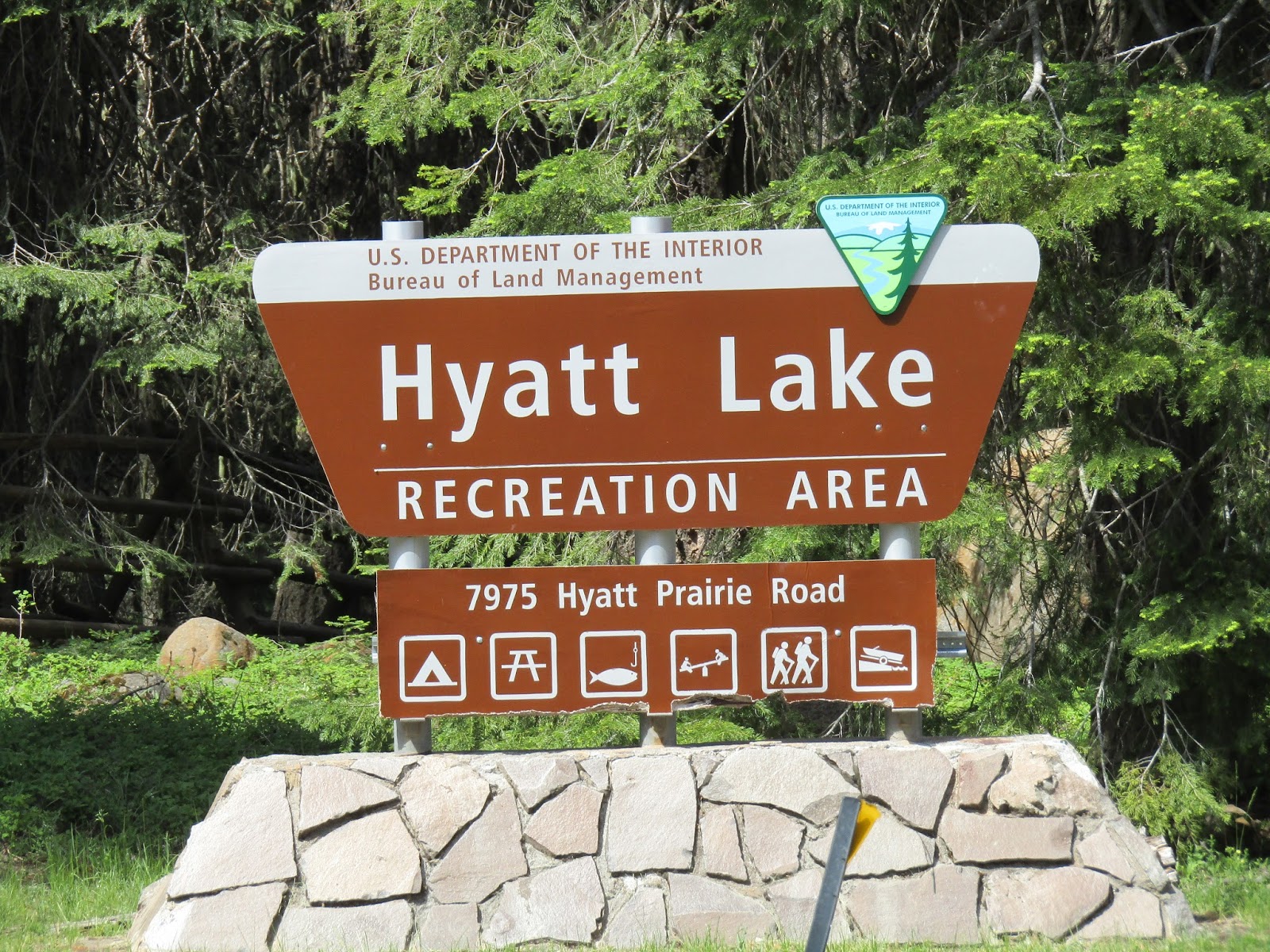
 |
| Hyatt Lake sign at the campground entrance. |
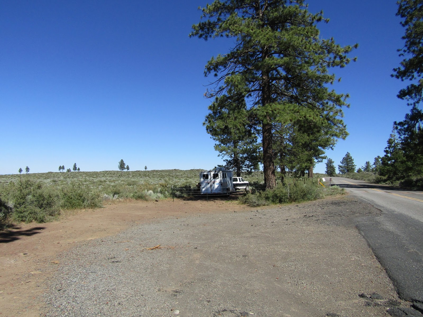
Hyatt Lake Horse Camp has 5 spots, a bathroom, no manure bin and no potable water, but it is right on the lake so you can get stock water.There is another people campground called Wildcat nearby, which has potable water from a hand pump.
This is a BLM campground and there is only one steel corral in each spot, but they are nice and roomy which I really like. So unless you have horses that are okay with being together, each person would have to reserve their own spot.
 |
| Hyatt Lake Horse Camp. |
Most of the spots are not really very level, and there are a couple that you have to back into uphill. This is not the best place to accommodate large rigs, however the thing to do would be to reserve spot #5. It is huge, right on the lake, plenty of parking, and you also get a really nice view of Mt. McLoughlin. It is $10.00 per night to camp there.
There is a spur trail that leaves camp and goes to the PCT, so on my first day, I rode to the north.
The PCT tends to be cleared early, but there were quite a few downed trees this year, although none that I couldn't get around.
The trail follows above the lake for awhile then heads uphill with a brief view of Mt. Shasta, and then drops back down to Howard Prairie Reservoir. I then rode over an irrigation canal and some bridges, and also passed a trail that goes over to Lily Glen Horse Camp. I then called it a day and turned around, riding for about 6 hours total.
 |
| A brief view of Mt. Shasta from the PCT. |
 |
| Howard Prairie Reservoir from the PCT. |
 |
| A couple bridges over some swampy areas on the PCT. |
 |
| On the PCT. |
 |
| Found a few of these, I have since learned they are a sculptured puffball mushroom. |
That night my friend who I was supposed to have visited, came to visit me instead, and we hung out for awhile, and I met her new sweet dog.
Right before she left, some PCT hikers nonchalantly ambled down into the horse camp and proceeded to set up their tents for the night, which of course they are not supposed to do.
Not sure why they didn't just go to the PCT hiker camp that Hyatt Lake has set up specifically for them with showers and flush toilets.
The next day I rode south which turned out to be a gorgeous ride. I have always loved the Green Springs area, but had never ridden there, and the PCT runs right through it.
I rode through a meadow for awhile, then over a bridge by a man made waterfall, then found myself riding along a hillside with sweeping views looking down over Ashland OR, and Emigrant Lake.
I passed a sign that said Green Springs Mountain Loop Connector and I was hoping that meant I could come back that way, and I was pleased to discover, that was indeed the case. I again rode about 6 hours that day.
 |
| A man made waterfall on the PCT. |
 |
| Riding on the PCT south. |
 |
| Gorgeous views from the PCT. |
 |
| Ashland and Emigrant Lake from the PCT. |
 |
| On the PCT. |
That evening a different ranger came by to check on me, just making sure I was okay.
I left the next day and headed home, very happy with my trip, and it was nice to have timed it so I missed most of the massive heat wave hitting the lower elevations.
GPS COORDINATES TO SAM BROWN
GPS COORDINATES TO HYATT LAKE