Saturday, November 7, 2015

Dry Creek Horse Camp, Ochoco National Forest, Oregon

Well my high country riding is over for this season, but a trip into the Ochoco's is
always a good choice.
I've never actually camped here since I live close enough to drive over for the day. I usually ride here in the spring, since snow melt happens early, but this is a nice November ride as well.

To get there: From Prineville take Hwy 26 east for 8 miles, then take a left on Mill Creek Rd. Continue for 5 miles, then take a left on Rd. 3370, there will be a sign for Brennan Palisades. (There is a gate here that is locked from Dec. 1st to May 1st. So if you want to camp you will have to wait until it opens, or if you just want a day ride, there is a spot to park in front of the gate, and from there you can ride to the camp or on any of the trails.) In 2.5 miles take a left at the sign for the horse camp.


The Ochoco's need to be dry for good riding, if it is wet the ground becomes extremely muddy and slippery.

The sign for the horse camp.

Dry Creek Horse Camp has five sites all with steel corrals. There is a bathroom and a manure bin. The creek has plenty of water in it early in the year, but best not to count on it for stock water, it's called Dry Creek for a reason. There is no potable water, no garbage and no fee. The camp is on a hill so most of the spots are not very level.

Dry Creek Horse Camp.

Dry Creek Horse Camp.

The main trail from here is the Giddy Up Go Loop. It leaves directly across from the camp and you have several choices on which way to go. Across the creek would be how to ride it counterclockwise, or you can take the far left trail which is the clockwise way....although just continuing to ride up the road the camp is on, will also get you there, in fact the far left trail will eventually end up on this road. Lastly there is a well used trail in the middle of these two, this is the tie trail and it will make your loop shorter if you choose. I rode it clockwise on this day.

Giddy Up Go Loop.

The trail turns into dirt roads at times, some two tracks and then more trail. Several years ago it was not well marked. A friend and I attempted it, lost the trail for a long while and then ended up finding it again, but for that reason didn't actually get to ride the the whole thing. Now it is very well marked, and more people are obviously using it. The original markers are yellow wooden diamonds on the trees, and there are also a few white diamonds. 

On the Giddy Up Go Loop.

Giddy Up Go Loop, partly on dirt roads.

Approx. halfway there is the option to take the tie trail back for a shorter loop.

Yellow diamonds mark the trail.

Most of the trail is through forest although there are some views at the top of Steins Pillar and surrounding mountains.
The loop is 12 miles, there is a sign at the trailhead that says it is 7, which is not correct. Most likely this is referring to only one side of the loop.

Views from Giddy Up Go Loop.

Steins Pillar.

Giddy Up Go Loop view.

There are a couple of collapsed dwellings on the way back.

When I got back to camp to have a snack break, there were a few ladies riding Peruvians that I said hi to, and then I continued on to do the other trail to Brennan Palisades. This is a short ( less than 5 miles round trip ) trail that runs along beside the creek, crossing it several times. It eventually comes out into a fenced in meadow and in the spring it's probably better to skirt this area, but right now it was dry enough to ride through. This trail is not marked, you are basically just riding along beside the road you drove in on, until you get to the road that goes to the Palisades, then it's about a 1/4 of a mile up that road. That is the only real destination, although I have explored in the past by continuing to follow this road which climbs up for awhile but then dead ends.

The meadow that is very close to Brennan Palisades.

Brennan Palisades sign.

Brennan Palisades.

If you are feeling adventurous there is a trail that leads up into the Palisades. There is a lot more to be seen from up there than from down below. From the top you can then follow a trail back to the horse camp. Most of the trail is actually in good shape, but there is a section with some downed trees, and a few areas you might lose the trail briefly. It will come to the fence line by the camp, and you just ride down to the entrance from there.

Up on top of the Brennan Palisades.

Other than these two options, there aren't any other trails, but you can continue riding down the road you drove in on. There is an old barn to visit, or just check out where the many random dirt roads in the area go. I have ridden up to the Green Mountain OHV trail from road 3380 and explored around there as well.

Old barn on the way to camp.

On the Green Mountain Trail.


Another ride that is nearby, but you would have to trailer over to, is Twin Pillars


Friday, October 23, 2015

Chambers Lakes, (Camp Lake) Three Sisters Wilderness, Oregon

I am lucky to live here, especially when I can ride into this kind of beauty on a sunny day at the end of October, and it being a relatively short drive from my house.

Camp Lake.

In 2011 I had tried to ride this trail for the first time, and I got to within a mile of the end, before I was brought up short by a giant snowdrift. In 2012 the Pole Creek fire swept through there, and the trailhead was not accessible for quite awhile.

From Sisters: Drive 1.5 miles west on Hwy 242 and take a left on Road 15. This is the same road that you take to get to Sisters Cow Camp.
It is 10.5 miles to the Pole Creek Trailhead and the road turns to gravel after the first 2 miles. Stay on the main road, the junctions are marked. This road used to be really washboard and slow going, but they were grading it while I was driving up there, so it was considerably better, but of course it depends on when you go.

The parking area has a couple of large spots for horse trailers, but the trick is getting turned around. I assumed there would be no one up there on a Wednesday in the fall, but boy was I wrong, the parking lot was almost full. If no cars are there you can easily turn around, but since that is not usually the case, there is a small side road you can use to back into.

A good large spot for parking trailers.

The always full parking lot.

The first part of the trail is the burned section but on the plus side, there are now views of North Sister that were not visible before the fire.

The Pole Creek Trailhead.

The burned section of the Pole Creek Trail.

Views of North Sister.

At the first trail junction you come to, stay straight, where the sign says Green Lakes.

First trail junction.


The next trail junction comes up right after crossing  Soap Creek, this is where you leave the Green Lakes Trail and go to the right towards Camp Lake/Chambers Lakes.

The third trail junction is just after you cross the north fork of Squaw Creek, which is filled with silt. Here you have the choice of a 1.6 round trip detour to visit Demaris Lake.
Or if extra mileage is not on your agenda, stay to the right here instead.

North fork of Squaw Creek.

The sign for the side trip to Demaris Lake or go right to Camp Lake.

Demaris Lake.

Eventually you will climb out of the forest and the views really get good from here.
You will have North Sister and Middle Sister on your right, off to the left will be Broken Top, then once you get to Camp Lake, South Sister looms above.


North Sister.

This is the area where I had to turn back in 2011, because it was full of snow.

Broken Top.

Middle Sister and North Sister.

The final destination is the beautiful gem that is Camp Lake. I spent an hour just walking around and checking out the whole area. I was prepared for it to be windy, since it's supposed to really blow most of the time, but I was lucky, and it was quite balmy and calm. The rest of the Chambers Lakes are up above Camp Lake but it's probably best to not continue on. The user trails that lead out of there are more for hikers than horses, steep, rocky and primitive.
This whole ride including the side trip to Demaris, is just under 16 miles.

South Sister.

Camp Lake. There is a trail that leads up the cliff but it's not really horse friendly.

Found some snow.

My good pony waits patiently for me to quit monkeying around on nearby hills.

Camp Lake from a nearby hill.

My friend Krista was doing an exploratory ride on the same day as me, but coming from the west on the PCT and we made a plan to see if she could make it into the area where I was, from her side, but although she got close, the trail was much too rocky and she had to dismount just to get down some sections of it.
So we did not see each other after all, but we both had great days in the wilderness!

Krista's photo: Trying to get Phoenix down some rocky trails. 


GPS COORDINATES TO POLE CREEK TH

Sunday, October 11, 2015

Cold Springs, Fourmile Lake Horse Camp, and Nannie Creek, Oregon

It's October, but the temperatures feel like August. So what's a girl to do, go camping of course!

The trails in the Sky Lakes Wilderness have a lot of pluses, they are meticulously maintained and cleared, the riding is easy/ moderate, with some very nice views, and they are mostly all loops.

Mt. McLoughlin.

Fourmile Horse Camp has limited riding access into the Sky Lakes Wilderness, but there are a number of other trailheads very close by.
I stopped at Cold Springs Trailhead on the way there, which is actually a camp as well.There are five spots and anyone can camp there including horse people, although there are no corrals. There is a shelter, a bathroom and a spring for stock water, although there is a sign saying to boil the water for human consumption.

The shelter and spring at Cold Springs Trailhead.

This can be a short 7 mile loop or can be made longer by getting onto the PCT for awhile. I got to the Heavenly Twin Lakes first, then passed Isherwood Lake, Lake Elizabeth and Lake Notasha.

Heavenly Twin Lakes.

Lake Notasha.

On my way to the PCT my horse got stung.... twice. The hornets that nest in holes in the ground can be somewhat aggressive if you happen to pass by, at this time of year. I really haven't had too many problems with them in the past, but this year was a bad one, my horse also got stung on our last trip to Waldo Lake. I don't have a horse that tries to kill me in the process, she just stomps and kicks until she gets the offending little bastard off of her, and then she is fine.
But we did keep an eye out for the rest of our trip after that, and had no further problems. I rode as long as I felt like on the PCT and then went back, continuing the last part of the original loop, which is the less scenic section.

Sky Lakes Wilderness.

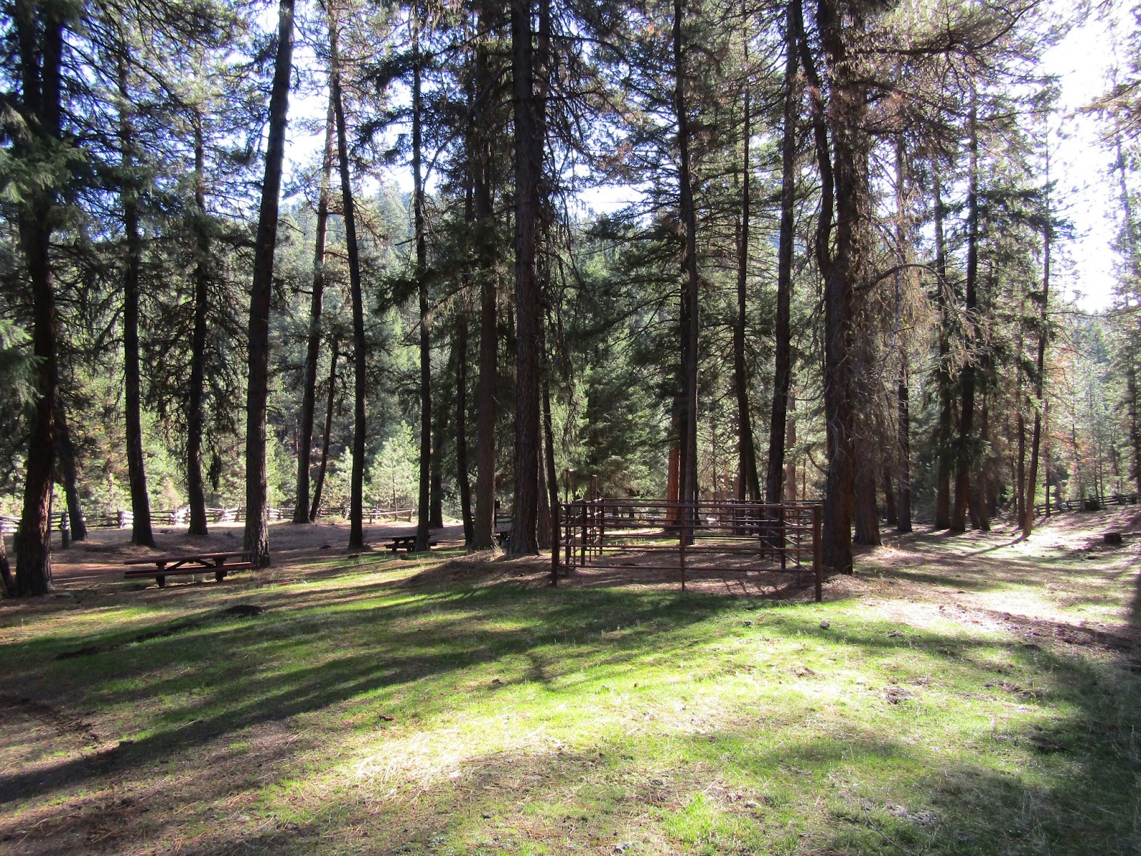
I then drove to Fourmile which is situated between Medford and Klamath Falls, and got set up for the evening. As you drive in, there are regular camp spots along the lake for people, and then the road does a loop, which is where the horse sites are.
There are 10 sites, they all have plenty of room for larger rigs, but only three sites have corrals. There is day use parking, a bathroom and a hand pump for water, that is potable. There is sort of a manure bin area, although it looks like campers may have made it themselves. Normally you would pay $15.00 to stay there but the camp had actually closed already as of September 8th. It may not always close that early, but I checked their website and it stated it was still available for camping. One of the bathrooms was left unlocked, although obviously not stocked with toilet paper anymore.

The sign when you get to camp.

Three of the sites are back in, the rest are all pull through. Since it was free and I had the place to myself, I parked in the double spot, since it was the nicest. The corrals are quite small, and they are all missing their gates, I had to use rope and baling twine instead. There was a note on the bathroom explaining that as of this year (2015) this camp is to be reservation only, and only horse people are allowed. The regular spots along the lake are really nice and there are 20 of them so people wouldn't be as tempted to stay in the horse area anyway, but it is nice to see that they are enforcing this.

The double site at Fourmile.

My cute pony. No gates on the corrals.

A note on the bathroom.

There were quite a few people camped at the lake and an older couple wandered by and said hi to me. I ended up chatting with them some more the next evening, and they were very sweet and dropped off some firewood for me as they were leaving the next day.

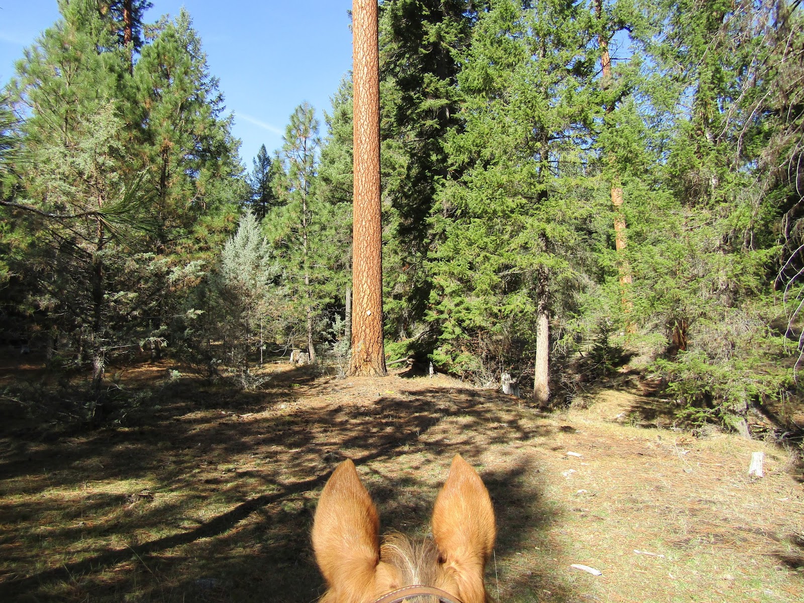
In the morning, I did the main trail that loops around the lake. It's 14 miles, although I did explore on a side trail to Island Lakes as well. On this loop I passed a great view of Mt. McLoughlin, went past Badger Lake, then Long Lake, then did my detour to Island Lakes on the Blue Canyon Trail. On this trail there are a couple of horse camping areas for people packing in. Then I got onto the PCT and headed past Christie's Spring, a nice view of Fourmile Lake from above, and back along the Twin Ponds Trail. This was hunting season but in all the days of riding, I saw only one hunter.

A person could do several out and back rides and see a few of the other side trails but it would require retracing a lot of the same miles every day. Since I planned to see the wilderness from some of the other trailheads, I did not need to do this quite as much.

The trailhead from camp that loops around Fourmile Lake and beyond.

The view of Mt. McLoughlin from the Badger Lake Trail.

Long Lake.

Island Lakes.

A welcome water source for backpackers.

On the PCT.

The view of Fourmile Lake from the PCT.
That evening I walked around near the lake, hung out with my new camping friends, and checked out the catch of the local fishermen.


A meadow beside camp.

A happy fisherman shows us his catch.

On the third day I retraced my steps along the Twin Ponds Trail to Summit Lake which turned out to be bone dry, then got back on the PCT and rode south. I was in search of another lake but decided to turn around before I got to it, conserving my horses energy for the longer ride coming up the following day. I saw some kind of weasel on my way back, but I didn't get a picture, he stuck around just long enough for me to think "what the heck was that?" and then vanished.

Squaw Lake on the Twin Ponds Trail.

What was once a large pond.

A really pretty section of the Twin Ponds Trail.

I got an early start on day four and drove over to the Nannie Creek Trailhead.

Nannie Creek Trailhead.

My plan was to do a specific 17 mile loop, but it ended up being a much longer day. I started out through thick forest, then across some shale, with views of Luther Mt.

Luther Mt. view from the Nannie Creek Trail.

Shale on a section of the Nannie Creek Trail.

After passing the beautiful Snow Lakes, I took a small loop detour past Deep Lake and Donna Lake. I got back on the main trail and kept going to Trapper Lake where I stopped for a snack and a rest.
It turns out I had missed my turnoff that, of course, happened to be on the 1/2 mile stretch I had not ridden.

Snow Lakes.

Luther Mt. and Snow Lakes.

Trapper Lake.

Reflections in Trapper Lake.

 After continuing on my way, I got to a trail junction and that's when I realized what my mistake had been, however turning back seemed like the worst option so I continued on to the PCT and headed back around that way instead, coming down the trail I was supposed to have gone up originally. This was a beautiful loop as well, but it did add approximately five miles to my ride, which got me back to my truck and trailer much later than planned, and not back home again until 10:00 pm. A friend whom I had told of my whereabouts, checked on me via text at about 5:00 pm to see if I was back yet, and I told her I was still riding! This ended up being an 8 1/2 hour day in the saddle.

Upper Klamath Lake in the distance.

Margurette and Trapper Lakes from the Divide Trail.

I was treated to an astonishingly bright pink sunset as I drove away.
Definitely a place I plan to visit again, to see more of this beautiful wilderness!


GPS COORDINATES TO COLD SPRINGS TH

GPS COORDINATES TO FOURMILE

GPS COORDINATES TO NANNIE CREEK TH